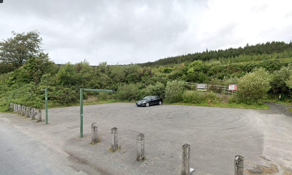
| Name of Trail | Kilbrannish Loop |
| Trailhead | Kilbrannish Car Park |
| GPS Co-ordinates | 52.6564606 -6.7545627 |
| Google Map Link | https://goo.gl/maps/1MiuAsTdWoEctWCe6 |
| Distance / Time | 5km 1hr 30min |
| Grade | Easy |
| Ascent | 310m |
| Terrain | Forest Trail |
| Name of Trail | Kilbrannish South Forest ( Blue ) |
| Trailhead | Corraby Gap |
| GPS Co-ordinates | 52.6558283 -6.7701055 |
| Google Map Link | https://goo.gl/maps/zThNJQMAgkG4dema7 |
| Distance / Time | 10.5km 3hr 10min |
| Grade | Strenuous (Long Loop) |
| Ascent | 382m |
| Terrain | Road / Forest Trail |
| Name of Trail | Kilbrannish South Forest ( Green ) |
| Trailhead | Corraby Gap |
| GPS Co-ordinates | 52.6558283 -6.7701055 |
| Google Map Link | https://goo.gl/maps/zThNJQMAgkG4dema7 |
| Distance / Time | 9.5 km 3hr |
| Grade | Moderate (Medium Loop) |
| Ascent | 382m |
| Terrain | Road / Forest Trail |
| Name of Trail | Kilbrannish South Forest ( Red ) |
| Trailhead | Corraby Gap |
| GPS Co-ordinates | 52.6558283 -6.7701055 |
| Google Map Link | https://goo.gl/maps/zThNJQMAgkG4dema7 |
| Distance / Time | 6.5m 2hr |
| Grade | Moderate (Short Loop) |
| Ascent | 382m |
| Terrain | Road / Forest Trail |
| Name of Trail | Kilbrannish South Forest ( White ) |
| Trailhead | Corraby Gap |
| GPS Co-ordinates | 52.6558283 -6.7701055 |
| Google Map Link | https://goo.gl/maps/zThNJQMAgkG4dema7 |
| Distance / Time | 14 km 4hrs |
| Grade | Moderate/Challenging |
| Ascent | 390m |
| Terrain | Road / Forest Trail |
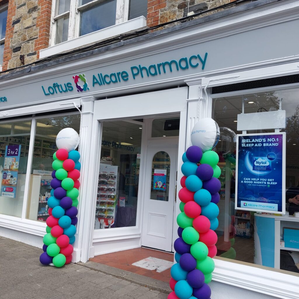
Loftus Allcare Pharmacy is dedicated to providing the best in professional healthcare and advice to the local Bunclody community, located in the heart of Market Square. Pop into us to browse our extensive range of Vitamins, Skincare, Fragrance, Cosmetics, First Aid and Haircare in-store. We have plenty of Summer Essentials like Suncream and Allergy Relief products for those playing a local round of golf or exploring one of our fabulous local walking trials.
| Name of Trail | Long Lane |
| Trailhead | Market Square Bunclody |
| GPS Co-ordinates | 52.6555435 -6.6513263 |
| Google Map Link | https://goo.gl/maps/Q2oFK3nYbgfrzzwv9 |
| Distance / Time | 8 km 2hrs |
| Grade | Moderate |
| Ascent | 31m |
| Terrain | Country Roads |
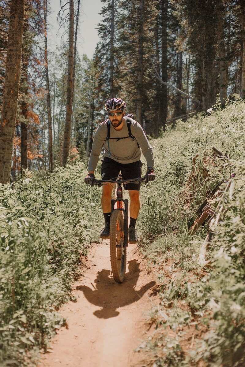
Mountain Bike Trails:
There is an interest in developing mountain bike trails in the area. The mountain bike model in Ballyhoura, County Limerick was discussed and it was felt that this is a model that Bunclody could explore further to examine if it is possible to replicate in this locality. It is our understanding that this was developed as a joint venture between Ballyhoura Development and Fáilte Ireland and approximately 92 km were built on Coillte property with their permission.
However, if these are developed on land owned by Coillte, it is imperative that discussions take place with them initially to identify if this is compatible with their national strategy on ‘Off-Road Cycling, 2012’.
However, it is recognised in the Coillte report that mountain bike club activity is currently taking place in Deerpark / Kilbrannish at a moderate to high usage level. This mountain bike trail is promoted on the Trailbadger website and it profiles the facilities and a movie depicting features of the trail.
The cost of further developing these mountain bike trails is significant however, as substantial investment was required to develop the Ballyhoura mountain bike model on Coillte property. An alternative possibility for mountain bike related tourism could focus on private, commercial ‘trail centres’ which have become very popular in the UK in recent years, especially in Scotland and Wales. One such centre has opened in Ireland, near Roscrea, County Tipperary called ‘Bike Park Ireland’ which appears to be quite successful.
Racing 795 is a Mountain Biking and Triathlon club that involves cyclists, runners, swimmers and adventurers. Racing 795 was formed in 2008 with a mission to promote participation at all levels of triathlon and mountain biking in a friendly, supportive and enjoyable environment. The membership currently stands at around 50, mostly drawn from north Wexford and south Carlow. Competition and personal improvement is encouraged and their base is in Bunclody. Opportunities to develop tourism events in conjunction with this Club could be explored.
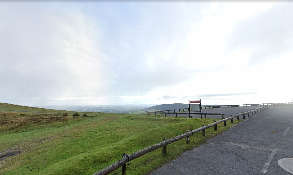
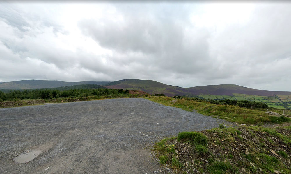
| Name of Trail | Mt Leinster ( 9 Stones Car Park ) |
| Trailhead | Open Mountain No Trailhead |
| GPS Co-ordinates | 52.63726927530189, -6.793461471164923 |
| Google Map Link | https://goo.gl/maps/RA5vwbfdeGivE8ZH8– |
| Distance / Time | |
| Grade | – |
| Ascent | – |
| Terrain | – |

We are an Independent Used car dealership based in Bunclody Co.Wexford (You will get directions to our premises here)
All our vehicles come with a warranty and are fully inspected on pre-delivery to assure our customers of the highest quality.
Based on Ryland Road in Bunclody Co.Wexford we are in an ideal location for motorists in the greater Wexford and indeed Carlow areas.
As we stock a wide range of vehicles, we will also consider any make of trade in you may have.
Here at O’Leary’s Garage Wexford our stock is updated on a daily basis so check back regularly.
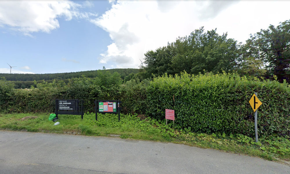
| Name of Trail | Prospect Loop ( Blue ) |
| Trailhead | Coolmelagh |
| GPS Co-ordinates | 52.68636 – 6.57963 |
| Google Map Link | https://goo.gl/maps/fPmp6kTXA95JLVPy9 |
| Distance / Time | 5.4 km 1hr 30min |
| Grade | Easy |
| Ascent | 140m |
| Terrain | Forest Trail |
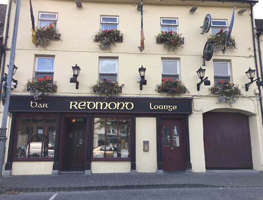
Redmond’s have a Bar, Newsagents and Bookmakers
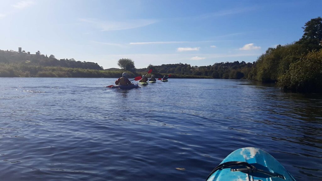
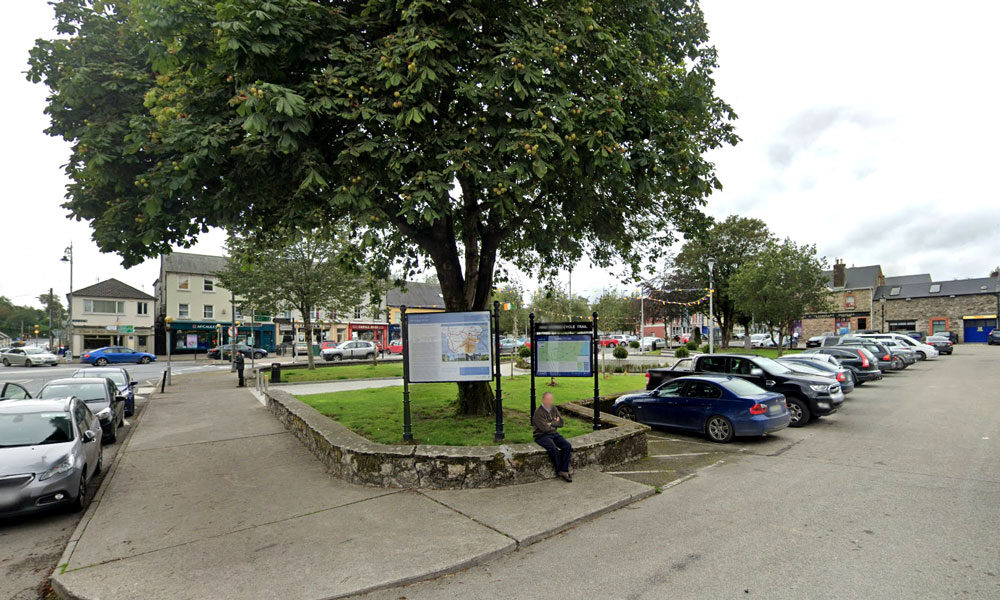
The river Slaney runs through the Town of Bunclody and is a very attractive natural asset for the Town.
“Until the late 1960s, the Slaney was perhaps the primary Irish spring salmon river and one of the best in Europe, but since then has seen a serious decline in the number of fish running the river to the extent that the river had to be closed for a number of years and is now catch and release only as stock levels are below conservation limits.” (www.slaneyrivertrust.ie).
There was uncertainty around fishing licences and where people are allowed to fish on the river Slaney. It was thought that there is a catch and release policy in place and that licences can be obtained locally.
Fishing is a potentially attractive tourist facility that could be offered in the area however, further research is required to ascertain on what basis it could be made available to visitors staying in the Town.
There are also fishing opportunities for tourists in Enniscorthy and due to the close proximity between the two Towns this could very easily be promoted as a half day / full day activity for those staying in Bunclody. There is free fishing downstream of Enniscorthy Bridge and there are good stocks of brown trout on the river Slaney.
Other opportunities to utilise the river was discussed and it was thought that watersports including kayaking could be developed. However, in the short term utilising existing established organisations would be most effective. There is the Tullow Kayak Club that offers training sessions and river trips for children and adults. There is also a company called Slaney Adventure which offers kayak trips to those on holiday in the area or summer camps for children aged 8 to 17 years of age.
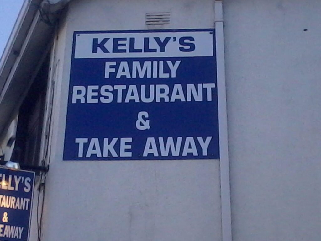
Serves breakfast, lunch, dinner, drinks and coffee
| Name of Trail | South Leinster Way |
| Trailhead | Kildavin/Carlow |
| GPS Co-ordinates | 52.68360 – 6.68477 |
| Google Map Link | https://goo.gl/maps/artip6EhzBfKK87XA |
| Distance / Time | 102 km |
| Grade | Long distance Linear walk |
| Ascent | |
| Terrain | Roads/ Forest Trail |