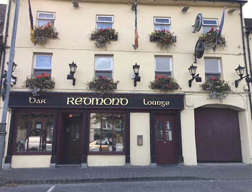
Redmond’s have a Bar, Newsagents and Bookmakers
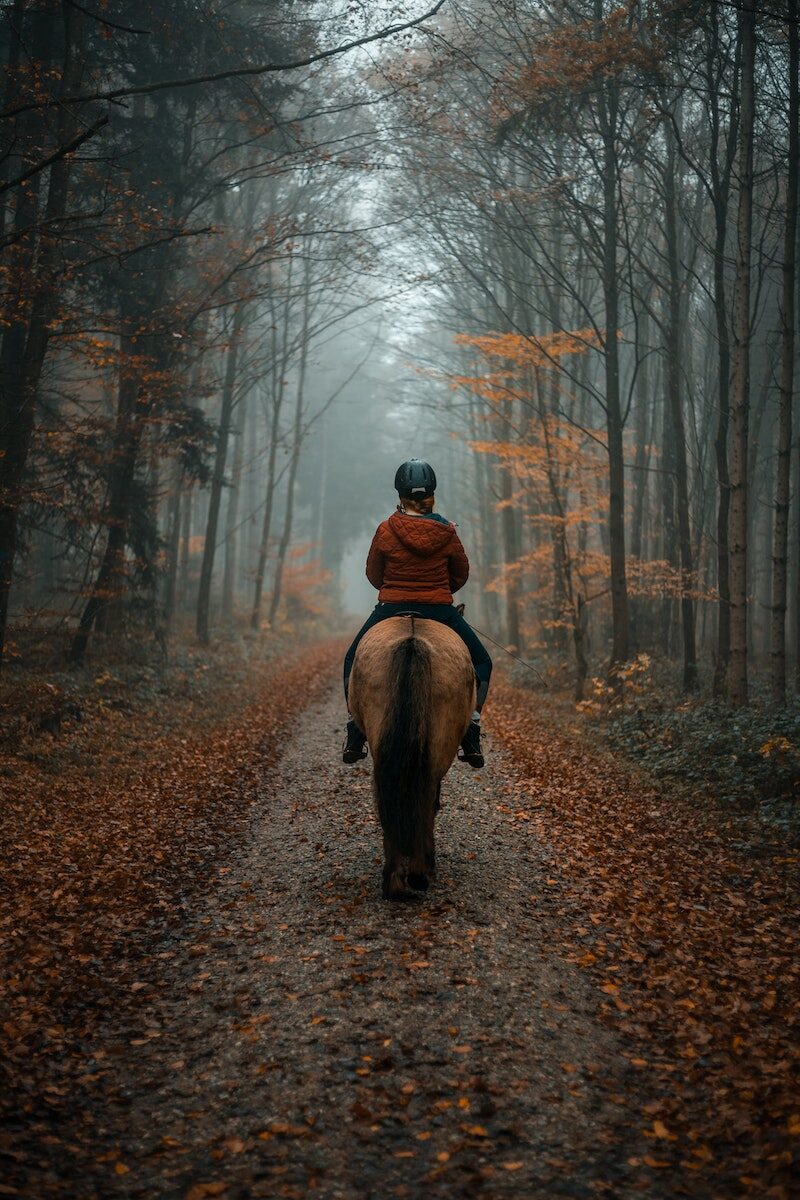
Horse riding:
The opportunity to do pony trekking in the mountains was considered and it was felt that current facilities are not well known. There is the Anvil Lodge Riding School based in Ballindaggan which is 11 km from Bunclody and it offers individual and group packages and it was felt that this could be promoted further.
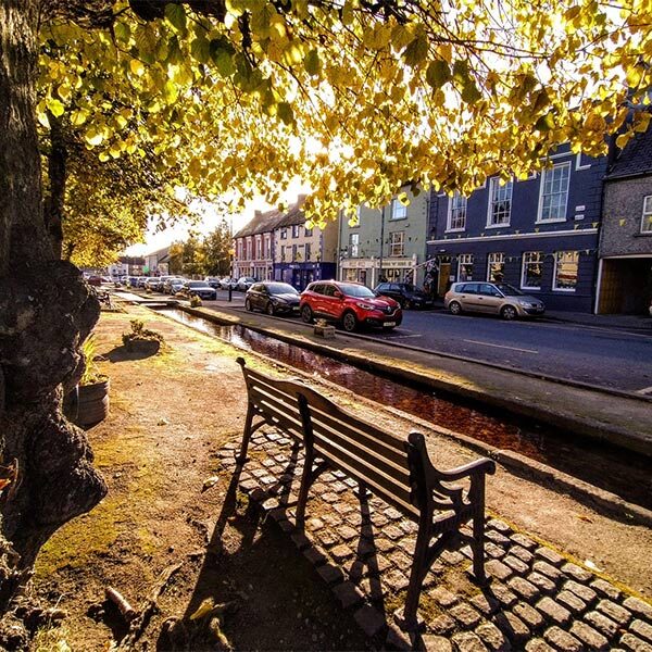
| Name of Trail | Craan Lane |
| Trailhead | Market Square Bunclody |
| GPS Co-ordinates | 52.6555435 -6.6513263 |
| Google Map Link | https://goo.gl/maps/Q2oFK3nYbgfrzzwv9 |
| Distance / Time | 15 km 3-4hrs |
| Grade | Moderate |
| Ascent | 31m |
| Terrain | Country Roads |
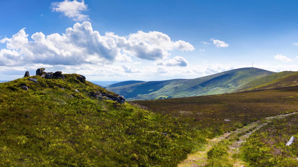
It was acknowledged that the Blackstairs Mountains have huge tourism potential which is currently under-developed and not promoted significantly either within the Town or to the domestic / international visitor. It was felt that there is considerable scope to offer 1 day tours using a mini bus or through a business model like Hook Safari that operates on the Hook Peninsula.
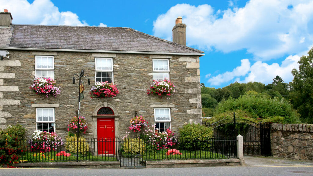
Bunclody Town has a rich heritage and it was felt that this could be further promoted. It was also recognised that there is a need to provide in-door facilities so that visitors have things to do when the weather is inclement. Some suggestions included a historical Museum. This could possibly be located in one of the vacant buildings in the Town. This could include a photographic exhibition and artefacts representing Bunclody’s history. Reference was made to ‘Enniscorthy Castle’ and how successfully this has promoted Enniscorthy’s heritage. Another excellent example is the ‘St Conall’s Museum and Heritage Centre’ in a small village called Glenties, County Donegal. According to the Rough Guide of Ireland it is one of the best small-Town museums in the country and displays much material of local interest, focusing on wildlife, Donegal’s railways, antiquities, and the effects of the Great Famine. It also holds a Summer School in late July, attracting hundreds of people to its exhibitions, seminars and literary debates.
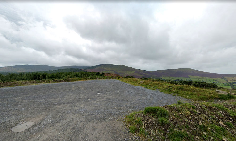
| Name of Trail | Kilbrannish South Forest ( Red ) |
| Trailhead | Corraby Gap |
| GPS Co-ordinates | 52.6558283 -6.7701055 |
| Google Map Link | https://goo.gl/maps/zThNJQMAgkG4dema7 |
| Distance / Time | 6.5m 2hr |
| Grade | Moderate (Short Loop) |
| Ascent | 382m |
| Terrain | Road / Forest Trail |
| Name of Trail | Long Lane |
| Trailhead | Market Square Bunclody |
| GPS Co-ordinates | 52.6555435 -6.6513263 |
| Google Map Link | https://goo.gl/maps/Q2oFK3nYbgfrzzwv9 |
| Distance / Time | 8 km 2hrs |
| Grade | Moderate |
| Ascent | 31m |
| Terrain | Country Roads |

Byrne and Byrne Ltd based in Bunclody, Co. Wexford have been building high quality homes for the past 40 years, Also during this time the company has constructed some high profile Public buildings: Schools, Libraries, etc along with many commercial projects . Down through the years the company has gained a reputation for understanding the needs of the modern homebuyer, offering a professional, customer focused service, using best practice methods to create homes with superb finishes right down to the finest details.
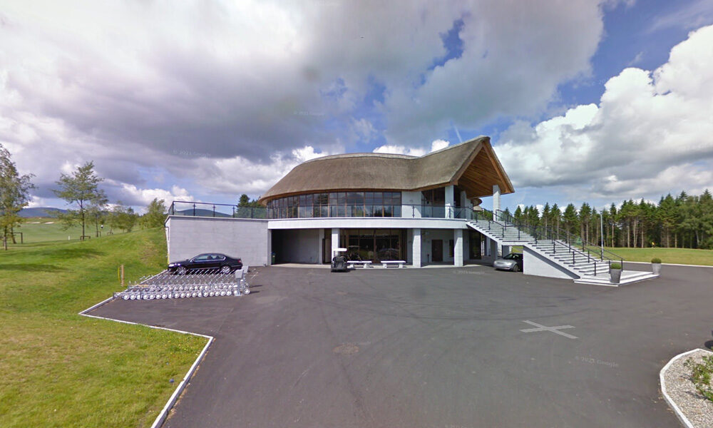
| Name of Trail | Bunclody Golf Club |
| Trailhead | No Trailhead |
| GPS Co-ordinates | 52.665274- 6.659077 |
| Google Map Link | https://goo.gl/maps/YUpGtU58rQFn1mT66 |
| Distance / Time | |
| Grade | Easy |
| Ascent | |
| Terrain | Road |
| Name of Trail | Kilbrannish South Forest ( White ) |
| Trailhead | Corraby Gap |
| GPS Co-ordinates | 52.6558283 -6.7701055 |
| Google Map Link | https://goo.gl/maps/zThNJQMAgkG4dema7 |
| Distance / Time | 14 km 4hrs |
| Grade | Moderate/Challenging |
| Ascent | 390m |
| Terrain | Road / Forest Trail |

Serves breakfast, lunch, dinner, drinks and coffee
| Name of Trail | Wicklow Way |
| Trailhead | Clonegal/Carlow |
| GPS Co-ordinates | 52.69553104308368, -6.64839482900732 |
| Google Map Link | https://goo.gl/maps/aW3fxv7PoW4MYR277 |
| Distance / Time | 132 km |
| Grade | Long distance Linear walk |
| Ascent | 133m |
| Terrain | Roads/ Forest Trail |
| Name of Trail | Kilbrannish South Forest ( Blue ) |
| Trailhead | Corraby Gap |
| GPS Co-ordinates | 52.6558283 -6.7701055 |
| Google Map Link | https://goo.gl/maps/zThNJQMAgkG4dema7 |
| Distance / Time | 10.5km 3hr 10min |
| Grade | Strenuous (Long Loop) |
| Ascent | 382m |
| Terrain | Road / Forest Trail |
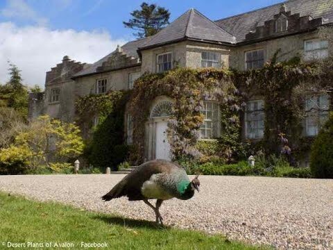
There are a wealth of historic houses
and gardens within close proximity to Bunclody including:
- Newtownbarry House
- Altamount Gardens
- Huntington Castle
- Borris Castle
- Lucy’s Wood Garden
- Tombrick Gardens
These gardens are members of either the Wexford or Carlow Garden Trails that are widely publicised nationally through websites or in brochures. It was recognised that because Bunclody is located on the border between Co. Carlow and Co. Wexford, visitors are not always aware of the gardens in close proximity to the Town.
It was felt very important that all of these attractions should be jointly publicised to visitors who are staying in Bunclody or the neighboring area.
| Name of Trail | Columbanus Way |
| Trailhead | Tirlan Carrickduff Bunclody |
| GPS Co-ordinates | 52.6569408 -6.6578714 |
| Google Map Link | https://goo.gl/maps/QKwgd3UQqj4WdA1YA |
| Distance / Time | 13km 3hrs |
| Grade | Moderate |
| Ascent | 112m |
| Terrain | Roads/ Forest Trail |
| Name of Trail | South Leinster Way |
| Trailhead | Kildavin/Carlow |
| GPS Co-ordinates | 52.68360 – 6.68477 |
| Google Map Link | https://goo.gl/maps/artip6EhzBfKK87XA |
| Distance / Time | 102 km |
| Grade | Long distance Linear walk |
| Ascent | |
| Terrain | Roads/ Forest Trail |
| Name of Trail | Gibbet Hill ( Orange ) |
| Trailhead | Coolmelagh |
| GPS Co-ordinates | 52.68636 – 6.57963 |
| Google Map Link | https://goo.gl/maps/gLqqFa934HwvGiWr5 |
| Distance / Time | 10 km 2hr |
| Grade | Moderate |
| Ascent | 210m |
| Terrain | Forest Trail |