

We are an Independent Used car dealership based in Bunclody Co.Wexford (You will get directions to our premises here)
All our vehicles come with a warranty and are fully inspected on pre-delivery to assure our customers of the highest quality.
Based on Ryland Road in Bunclody Co.Wexford we are in an ideal location for motorists in the greater Wexford and indeed Carlow areas.
As we stock a wide range of vehicles, we will also consider any make of trade in you may have.
Here at O’Leary’s Garage Wexford our stock is updated on a daily basis so check back regularly.
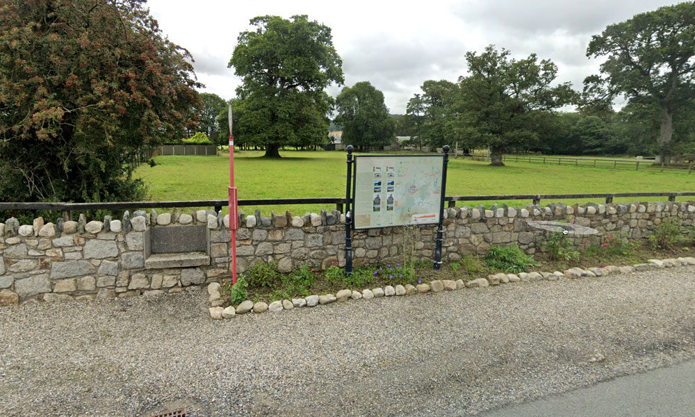
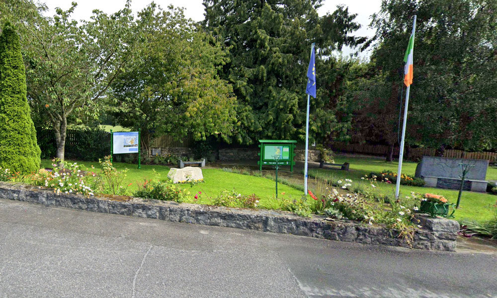
| Name of Trail | Columbanus Way |
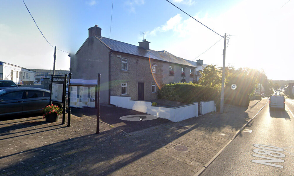
| Trailhead | Tirlan Carrickduff Bunclody |
| GPS Co-ordinates | 52.6569408 -6.6578714 |
| Google Map Link | https://goo.gl/maps/QKwgd3UQqj4WdA1YA |
| Distance / Time | 13km 3hrs |
| Grade | Moderate |
| Ascent | 112m |
| Terrain | Roads/ Forest Trail |


We are a leading Window & Door manufacturing and installation company based in the south-east, in Bunclody, Co.Wexford.
We specialise in both uPVC & Aluminium Windows & Doors, serving Residential & Commercial sectors.
We are a family run company, which was established in 1980 by our Managing Director Eamon Kehoe.
With over 40 years of industry experience, the company has gone from strength to strength.
We offer an extensive range of glazing products to cater for all needs
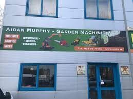
Garden Machinery
Machinery Repairs
Lawnmower servise
Machinery sales
Hire shop

Discover magic food

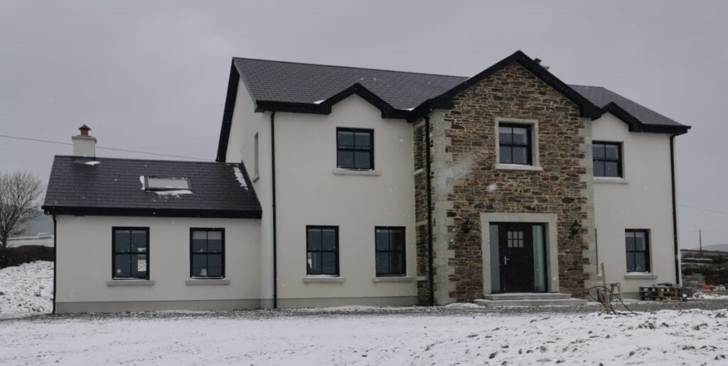
Byrne and Byrne Ltd based in Bunclody, Co. Wexford have been building high quality homes for the past 40 years, Also during this time the company has constructed some high profile Public buildings: Schools, Libraries, etc along with many commercial projects . Down through the years the company has gained a reputation for understanding the needs of the modern homebuyer, offering a professional, customer focused service, using best practice methods to create homes with superb finishes right down to the finest details.
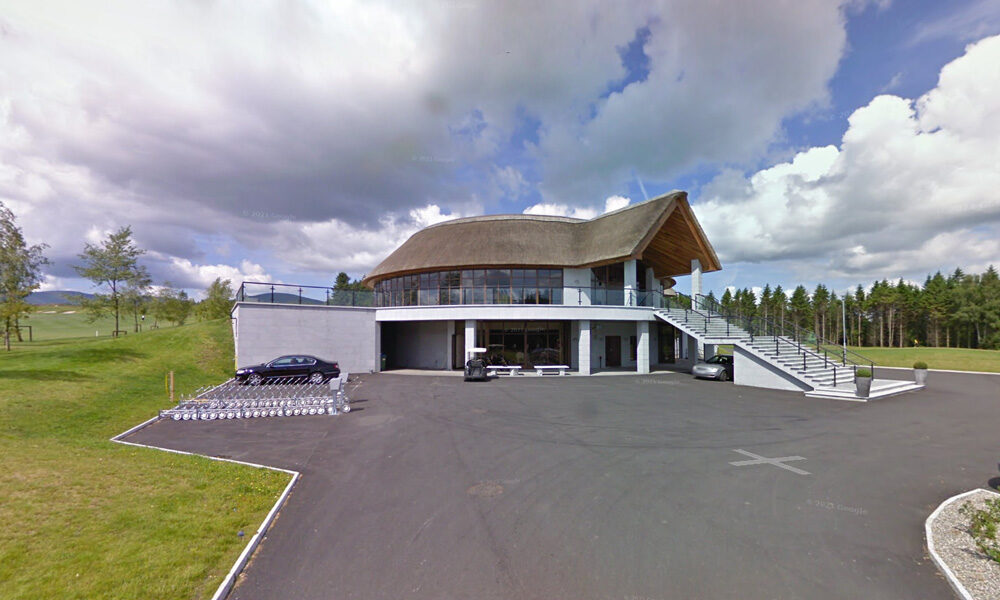
| Name of Trail | Bunclody Golf Club |
| Trailhead | No Trailhead |
| GPS Co-ordinates | 52.665274- 6.659077 |
| Google Map Link | https://goo.gl/maps/YUpGtU58rQFn1mT66 |
| Distance / Time | |
| Grade | Easy |
| Ascent | |
| Terrain | Road |
| Name of Trail | South Leinster Way |
| Trailhead | Kildavin/Carlow |
| GPS Co-ordinates | 52.68360 – 6.68477 |
| Google Map Link | https://goo.gl/maps/artip6EhzBfKK87XA |
| Distance / Time | 102 km |
| Grade | Long distance Linear walk |
| Ascent | |
| Terrain | Roads/ Forest Trail |
| Name of Trail | Wicklow Way |
| Trailhead | Clonegal/Carlow |
| GPS Co-ordinates | 52.69553104308368, -6.64839482900732 |
| Google Map Link | https://goo.gl/maps/aW3fxv7PoW4MYR277 |
| Distance / Time | 132 km |
| Grade | Long distance Linear walk |
| Ascent | 133m |
| Terrain | Roads/ Forest Trail |
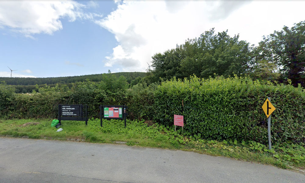
| Name of Trail | Coolmelagh (Red) |
| Trailhead | Coolmelagh |
| GPS Co-ordinates | 52.68615 – 6.57963 |
| Google Map Link | https://goo.gl/maps/YaQrTMzL8SnWrJpL7 |
| Distance / Time | 13.3km 3hrs |
| Grade | Moderate |
| Ascent | 280m |
| Terrain | Forest Trail |
| Name of Trail | Prospect Loop ( Blue ) |
| Trailhead | Coolmelagh |
| GPS Co-ordinates | 52.68636 – 6.57963 |
| Google Map Link | https://goo.gl/maps/fPmp6kTXA95JLVPy9 |
| Distance / Time | 5.4 km 1hr 30min |
| Grade | Easy |
| Ascent | 140m |
| Terrain | Forest Trail |
| Name of Trail | Gibbet Hill ( Orange ) |
| Trailhead | Coolmelagh |
| GPS Co-ordinates | 52.68636 – 6.57963 |
| Google Map Link | https://goo.gl/maps/gLqqFa934HwvGiWr5 |
| Distance / Time | 10 km 2hr |
| Grade | Moderate |
| Ascent | 210m |
| Terrain | Forest Trail |
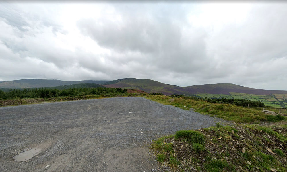
| Name of Trail | Windmill Loop |
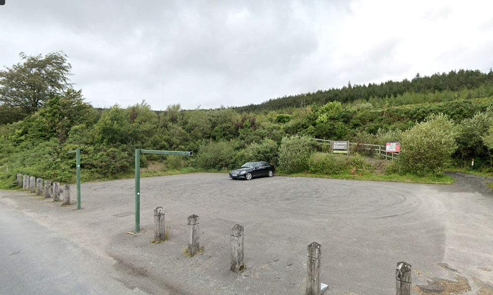
| Trailhead | Kilbrannish Car Park |
| GPS Co-ordinates | 52.6564606 -6.7545627 |
| Google Map Link | https://goo.gl/maps/1MiuAsTdWoEctWCe6 |
| Distance / Time | 3 km 1hr |
| Grade | Easy |
| Ascent | 310m |
| Terrain | Forest Trail |
| Name of Trail | Kilbrannish Loop |
| Trailhead | Kilbrannish Car Park |
| GPS Co-ordinates | 52.6564606 -6.7545627 |
| Google Map Link | https://goo.gl/maps/1MiuAsTdWoEctWCe6 |
| Distance / Time | 5km 1hr 30min |
| Grade | Easy |
| Ascent | 310m |
| Terrain | Forest Trail |
| Name of Trail | John’s Hill – White Loop |
| Trailhead | Kilbrannish Car Park |
| GPS Co-ordinates | 52.6564606 -6.7545627 |
| Google Map Link | https://goo.gl/maps/1MiuAsTdWoEctWCe6 |
| Distance / Time | 11km 3hr |
| Grade | Moderate |
| Ascent | – |
| Terrain | Forest Trail / Track |
| Name of Trail | Kilbrannish South Forest ( Red ) |
| Trailhead | Corraby Gap |
| GPS Co-ordinates | 52.6558283 -6.7701055 |
| Google Map Link | https://goo.gl/maps/zThNJQMAgkG4dema7 |
| Distance / Time | 6.5m 2hr |
| Grade | Moderate (Short Loop) |
| Ascent | 382m |
| Terrain | Road / Forest Trail |
| Name of Trail | Kilbrannish South Forest ( Green ) |
| Trailhead | Corraby Gap |
| GPS Co-ordinates | 52.6558283 -6.7701055 |
| Google Map Link | https://goo.gl/maps/zThNJQMAgkG4dema7 |
| Distance / Time | 9.5 km 3hr |
| Grade | Moderate (Medium Loop) |
| Ascent | 382m |
| Terrain | Road / Forest Trail |