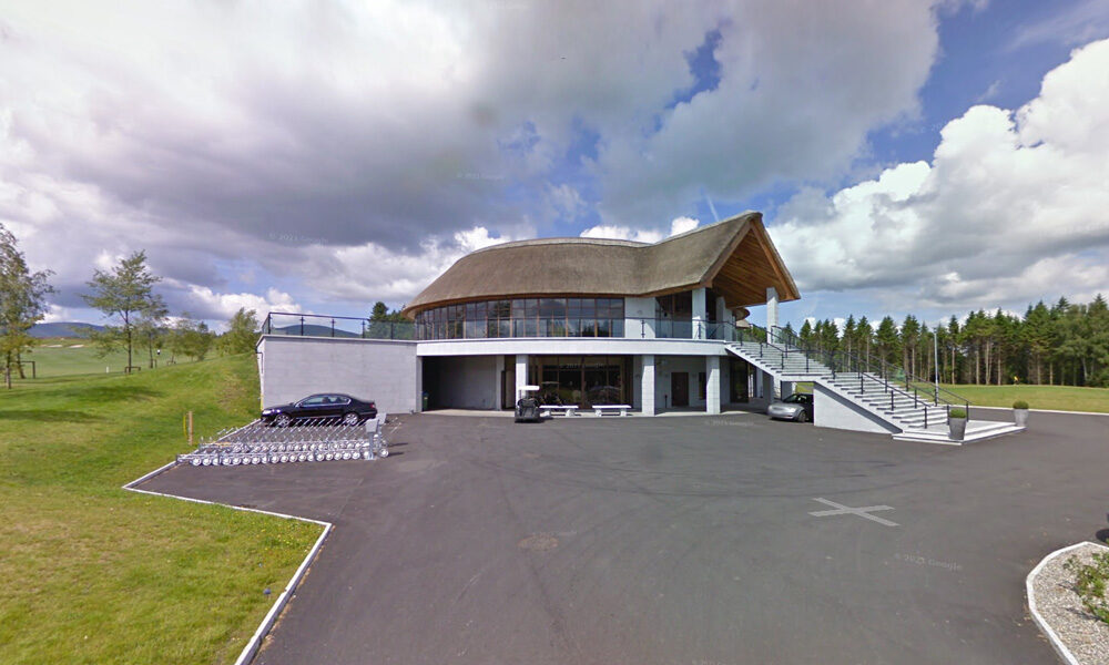
Golf Club Bunclody
| Name of Trail | Bunclody Golf Club |
| Trailhead | No Trailhead |
| GPS Co-ordinates | 52.665274- 6.659077 |
| Google Map Link | https://goo.gl/maps/YUpGtU58rQFn1mT66 |
| Distance / Time | |
| Grade | Easy |
| Ascent | |
| Terrain | Road |
South Leinster Way
| Name of Trail | South Leinster Way |
| Trailhead | Kildavin/Carlow |
| GPS Co-ordinates | 52.68360 – 6.68477 |
| Google Map Link | https://goo.gl/maps/artip6EhzBfKK87XA |
| Distance / Time | 102 km |
| Grade | Long distance Linear walk |
| Ascent | |
| Terrain | Roads/ Forest Trail |
Wicklow Way
| Name of Trail | Wicklow Way |
| Trailhead | Clonegal/Carlow |
| GPS Co-ordinates | 52.69553104308368, -6.64839482900732 |
| Google Map Link | https://goo.gl/maps/aW3fxv7PoW4MYR277 |
| Distance / Time | 132 km |
| Grade | Long distance Linear walk |
| Ascent | 133m |
| Terrain | Roads/ Forest Trail |
Columbanus Way
| Name of Trail | Columbanus Way |
| Trailhead | Tirlan Carrickduff Bunclody |
| GPS Co-ordinates | 52.6569408 -6.6578714 |
| Google Map Link | https://goo.gl/maps/QKwgd3UQqj4WdA1YA |
| Distance / Time | 13km 3hrs |
| Grade | Moderate |
| Ascent | 112m |
| Terrain | Roads/ Forest Trail |
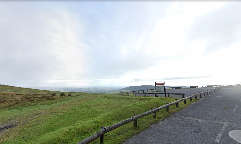
Mt Leinster ( 9 Stones Car Park )
| Name of Trail | Mt Leinster ( 9 Stones Car Park ) |
| Trailhead | Open Mountain No Trailhead |
| GPS Co-ordinates | 52.63726927530189, -6.793461471164923 |
| Google Map Link | https://goo.gl/maps/RA5vwbfdeGivE8ZH8– |
| Distance / Time | |
| Grade | – |
| Ascent | – |
| Terrain | – |
Craan Lane
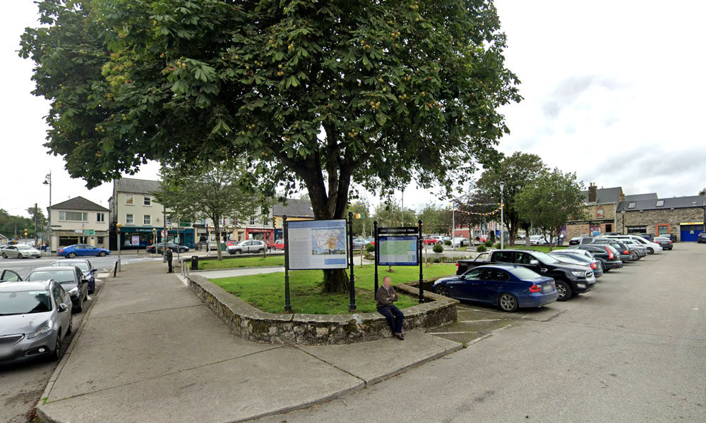
| Name of Trail | Craan Lane |
| Trailhead | Market Square Bunclody |
| GPS Co-ordinates | 52.6555435 -6.6513263 |
| Google Map Link | https://goo.gl/maps/Q2oFK3nYbgfrzzwv9 |
| Distance / Time | 15 km 3-4hrs |
| Grade | Moderate |
| Ascent | 31m |
| Terrain | Country Roads |
Long Lane
| Name of Trail | Long Lane |
| Trailhead | Market Square Bunclody |
| GPS Co-ordinates | 52.6555435 -6.6513263 |
| Google Map Link | https://goo.gl/maps/Q2oFK3nYbgfrzzwv9 |
| Distance / Time | 8 km 2hrs |
| Grade | Moderate |
| Ascent | 31m |
| Terrain | Country Roads |
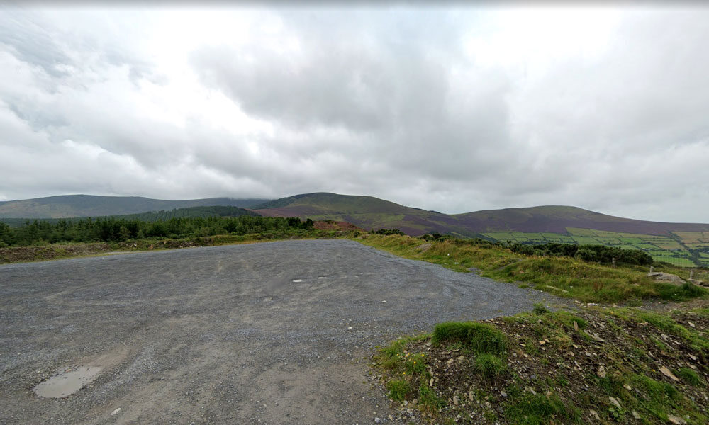
Kilbrannish South Forest ( White )
| Name of Trail | Kilbrannish South Forest ( White ) |
| Trailhead | Corraby Gap |
| GPS Co-ordinates | 52.6558283 -6.7701055 |
| Google Map Link | https://goo.gl/maps/zThNJQMAgkG4dema7 |
| Distance / Time | 14 km 4hrs |
| Grade | Moderate/Challenging |
| Ascent | 390m |
| Terrain | Road / Forest Trail |
Kilbrannish South Forest ( Blue )
| Name of Trail | Kilbrannish South Forest ( Blue ) |
| Trailhead | Corraby Gap |
| GPS Co-ordinates | 52.6558283 -6.7701055 |
| Google Map Link | https://goo.gl/maps/zThNJQMAgkG4dema7 |
| Distance / Time | 10.5km 3hr 10min |
| Grade | Strenuous (Long Loop) |
| Ascent | 382m |
| Terrain | Road / Forest Trail |
Kilbrannish South Forest ( Green )
| Name of Trail | Kilbrannish South Forest ( Green ) |
| Trailhead | Corraby Gap |
| GPS Co-ordinates | 52.6558283 -6.7701055 |
| Google Map Link | https://goo.gl/maps/zThNJQMAgkG4dema7 |
| Distance / Time | 9.5 km 3hr |
| Grade | Moderate (Medium Loop) |
| Ascent | 382m |
| Terrain | Road / Forest Trail |
Kilbrannish South Forest ( Red )
| Name of Trail | Kilbrannish South Forest ( Red ) |
| Trailhead | Corraby Gap |
| GPS Co-ordinates | 52.6558283 -6.7701055 |
| Google Map Link | https://goo.gl/maps/zThNJQMAgkG4dema7 |
| Distance / Time | 6.5m 2hr |
| Grade | Moderate (Short Loop) |
| Ascent | 382m |
| Terrain | Road / Forest Trail |
Johns Hill
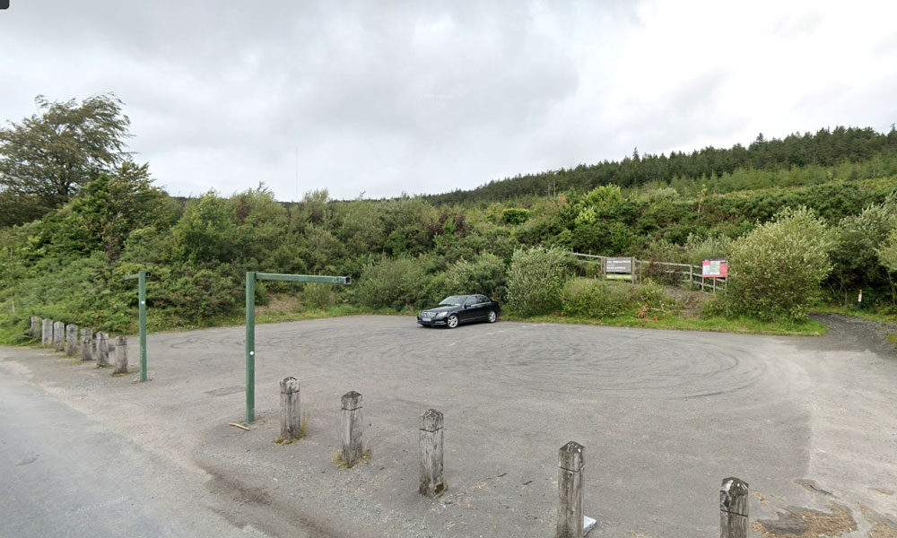
| Name of Trail | John’s Hill – White Loop |
| Trailhead | Kilbrannish Car Park |
| GPS Co-ordinates | 52.6564606 -6.7545627 |
| Google Map Link | https://goo.gl/maps/1MiuAsTdWoEctWCe6 |
| Distance / Time | 11km 3hr |
| Grade | Moderate |
| Ascent | – |
| Terrain | Forest Trail / Track |
Kilbrannish Loop
| Name of Trail | Kilbrannish Loop |
| Trailhead | Kilbrannish Car Park |
| GPS Co-ordinates | 52.6564606 -6.7545627 |
| Google Map Link | https://goo.gl/maps/1MiuAsTdWoEctWCe6 |
| Distance / Time | 5km 1hr 30min |
| Grade | Easy |
| Ascent | 310m |
| Terrain | Forest Trail |
Windmill Loop
| Name of Trail | Windmill Loop |
| Trailhead | Kilbrannish Car Park |
| GPS Co-ordinates | 52.6564606 -6.7545627 |
| Google Map Link | https://goo.gl/maps/1MiuAsTdWoEctWCe6 |
| Distance / Time | 3 km 1hr |
| Grade | Easy |
| Ascent | 310m |
| Terrain | Forest Trail |
Gibbet Hill
| Name of Trail | Gibbet Hill ( Orange ) |
| Trailhead | Coolmelagh |
| GPS Co-ordinates | 52.68636 – 6.57963 |
| Google Map Link | https://goo.gl/maps/gLqqFa934HwvGiWr5 |
| Distance / Time | 10 km 2hr |
| Grade | Moderate |
| Ascent | 210m |
| Terrain | Forest Trail |
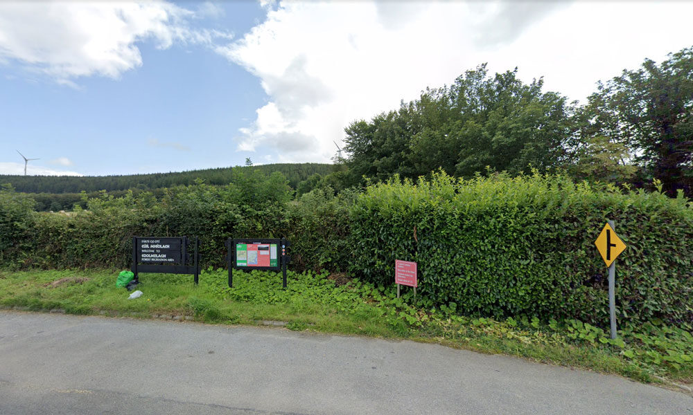
Coolmelagh
| Name of Trail | Prospect Loop ( Blue ) |
| Trailhead | Coolmelagh |
| GPS Co-ordinates | 52.68636 – 6.57963 |
| Google Map Link | https://goo.gl/maps/fPmp6kTXA95JLVPy9 |
| Distance / Time | 5.4 km 1hr 30min |
| Grade | Easy |
| Ascent | 140m |
| Terrain | Forest Trail |
Coolmelagh walking trail ( Red )
| Name of Trail | Coolmelagh (Red) |
| Trailhead | Coolmelagh |
| GPS Co-ordinates | 52.68615 – 6.57963 |
| Google Map Link | https://goo.gl/maps/YaQrTMzL8SnWrJpL7 |
| Distance / Time | 13.3km 3hrs |
| Grade | Moderate |
| Ascent | 280m |
| Terrain | Forest Trail |

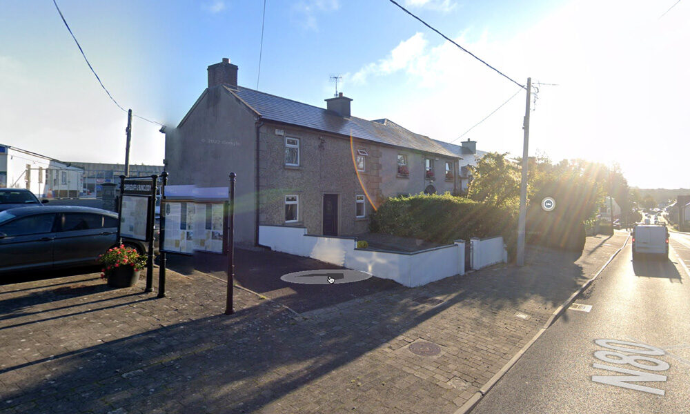
Ballinapark, County Wexford, Y21 F5N0, Ireland

Market Square, Ballinapark, Bunclody, Co. Wexford, Ireland
Loftus Allcare Pharmacy is dedicated to providing the best in professional healthcare and advice to the local Bunclody community, located in the heart of Market Square. Pop into us to browse our extensive range of Vitamins, Skincare, Fragrance, Cosmetics, First Aid and Haircare in-store. We have plenty of Summer Essentials like Suncream and Allergy Relief products for those playing a local round of golf or exploring one of our fabulous local walking trials.
Market Square, Ballinapark, Bunclody, County Wexford, Ireland
Antiques Georgian,Victorian,Edwardian,
Painting,Silver,Clocks Gramophones & Collectables