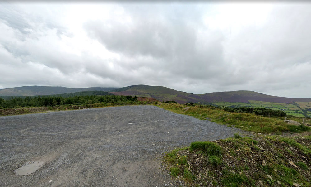
| Name of Trail | Kilbrannish South Forest ( Blue ) |
| Trailhead | Corraby Gap |
| GPS Co-ordinates | 52.6558283 -6.7701055 |
| Google Map Link | https://goo.gl/maps/zThNJQMAgkG4dema7 |
| Distance / Time | 10.5km 3hr 10min |
| Grade | Strenuous (Long Loop) |
| Ascent | 382m |
| Terrain | Road / Forest Trail |
| Name of Trail | Kilbrannish South Forest ( White ) |
| Trailhead | Corraby Gap |
| GPS Co-ordinates | 52.6558283 -6.7701055 |
| Google Map Link | https://goo.gl/maps/zThNJQMAgkG4dema7 |
| Distance / Time | 14 km 4hrs |
| Grade | Moderate/Challenging |
| Ascent | 390m |
| Terrain | Road / Forest Trail |
Horse riding:
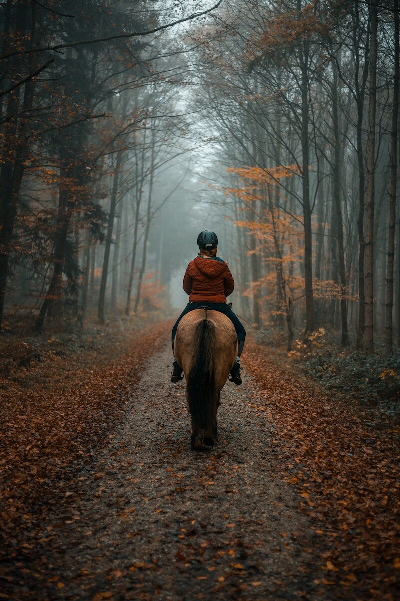
The opportunity to do pony trekking in the mountains was considered and it was felt that current facilities are not well known. There is the Anvil Lodge Riding School based in Ballindaggan which is 11 km from Bunclody and it offers individual and group packages and it was felt that this could be promoted further.
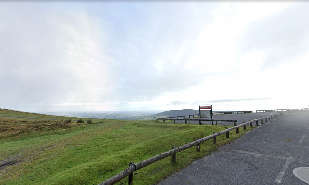
| Name of Trail | Mt Leinster ( 9 Stones Car Park ) |
| Trailhead | Open Mountain No Trailhead |
| GPS Co-ordinates | 52.63726927530189, -6.793461471164923 |
| Google Map Link | https://goo.gl/maps/RA5vwbfdeGivE8ZH8– |
| Distance / Time | |
| Grade | – |
| Ascent | – |
| Terrain | – |
Walking:
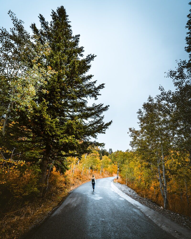
Bunclody is surrounded by mountains which are easily accessible from the Town. WLD has delivered a series of walking trail training programmes over the last 18 months involving 16 communities around the county including Bunclody. There are a series of well-developed walks near Bunclody including Kilbrannish Loop; Coolmelagh Loop and Mount Leinster.
Bunclody is also situated just 5 km from the end of the Wicklow Way in Clonegal. This is a popular long distance walking trail over 127 km long which continues up to South Dublin. There is also the South Leinster Way that starts near Bunclody and this is a long distance walking route which runs from Kildavin, Co. Carlow to Carrick-on-Suir in Co. Tipperary covering 102 km in length. The predominant features in the landscape are Mount Leinster, Brandon Hill and the river valleys of the Barrow, Nore and Suir.
It was recognised that walking trails are one of the Town’s major tourist assets which are currently under-developed. It was felt there was scope to develop these further through advancing new trails; more promotion of the existing trails and also encouraging guided walking trails. There is a company called Blackstairs Eco Trails, based in Borris which offers Eco Trails, Guided Hikes, Workshops, Foraging, Foraging Hen Events, Teachers Courses, School Visits, Childrens’ Trails and Fun in the Wild. Links could be developed with this company to identify if guided walking tours could be made available to visitors staying in Bunclody. Annual events could also be designed around foraging or other eco themes.
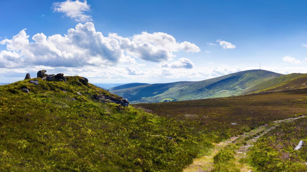
It was acknowledged that the Blackstairs Mountains have huge tourism potential which is currently under-developed and not promoted significantly either within the Town or to the domestic / international visitor. It was felt that there is considerable scope to offer 1 day tours using a mini bus or through a business model like Hook Safari that operates on the Hook Peninsula.