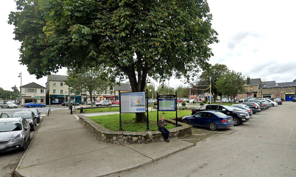
Craan Lane
| Name of Trail | Craan Lane |
| Trailhead | Market Square Bunclody |
| GPS Co-ordinates | 52.6555435 -6.6513263 |
| Google Map Link | https://goo.gl/maps/Q2oFK3nYbgfrzzwv9 |
| Distance / Time | 15 km 3-4hrs |
| Grade | Moderate |
| Ascent | 31m |
| Terrain | Country Roads |
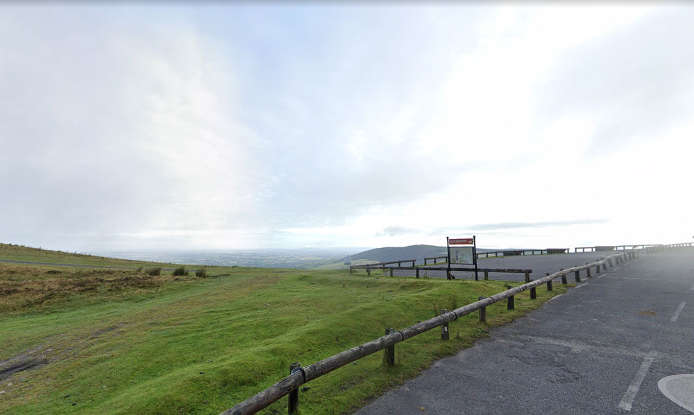
Mt Leinster ( 9 Stones Car Park )
| Name of Trail | Mt Leinster ( 9 Stones Car Park ) |
| Trailhead | Open Mountain No Trailhead |
| GPS Co-ordinates | 52.63726927530189, -6.793461471164923 |
| Google Map Link | https://goo.gl/maps/RA5vwbfdeGivE8ZH8– |
| Distance / Time | |
| Grade | – |
| Ascent | – |
| Terrain | – |
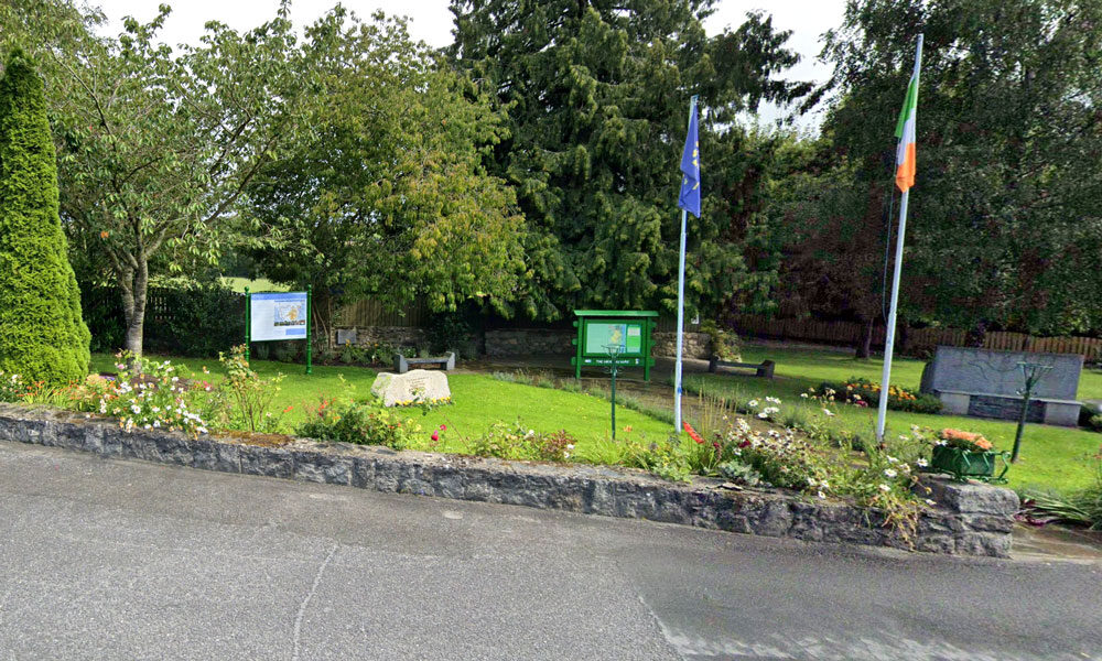
Columbanus Way
| Name of Trail | Columbanus Way |
| Trailhead | Tirlan Carrickduff Bunclody |
| GPS Co-ordinates | 52.6569408 -6.6578714 |
| Google Map Link | https://goo.gl/maps/QKwgd3UQqj4WdA1YA |
| Distance / Time | 13km 3hrs |
| Grade | Moderate |
| Ascent | 112m |
| Terrain | Roads/ Forest Trail |
Wicklow Way
| Name of Trail | Wicklow Way |
| Trailhead | Clonegal/Carlow |
| GPS Co-ordinates | 52.69553104308368, -6.64839482900732 |
| Google Map Link | https://goo.gl/maps/aW3fxv7PoW4MYR277 |
| Distance / Time | 132 km |
| Grade | Long distance Linear walk |
| Ascent | 133m |
| Terrain | Roads/ Forest Trail |
South Leinster Way
| Name of Trail | South Leinster Way |
| Trailhead | Kildavin/Carlow |
| GPS Co-ordinates | 52.68360 – 6.68477 |
| Google Map Link | https://goo.gl/maps/artip6EhzBfKK87XA |
| Distance / Time | 102 km |
| Grade | Long distance Linear walk |
| Ascent | |
| Terrain | Roads/ Forest Trail |
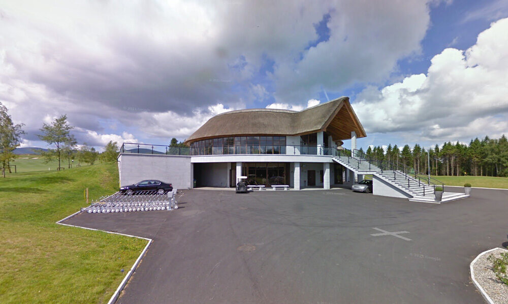
Golf Club Bunclody
| Name of Trail | Bunclody Golf Club |
| Trailhead | No Trailhead |
| GPS Co-ordinates | 52.665274- 6.659077 |
| Google Map Link | https://goo.gl/maps/YUpGtU58rQFn1mT66 |
| Distance / Time | |
| Grade | Easy |
| Ascent | |
| Terrain | Road |