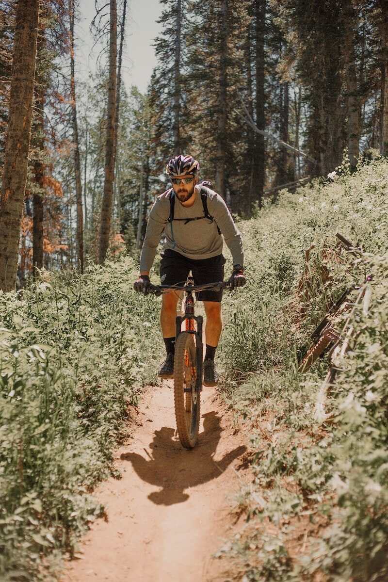
Mountain Bike Trails:
There is an interest in developing mountain bike trails in the area. The mountain bike model in Ballyhoura, County Limerick was discussed and it was felt that this is a model that Bunclody could explore further to examine if it is possible to replicate in this locality. It is our understanding that this was developed as a joint venture between Ballyhoura Development and Fáilte Ireland and approximately 92 km were built on Coillte property with their permission.
However, if these are developed on land owned by Coillte, it is imperative that discussions take place with them initially to identify if this is compatible with their national strategy on ‘Off-Road Cycling, 2012’.
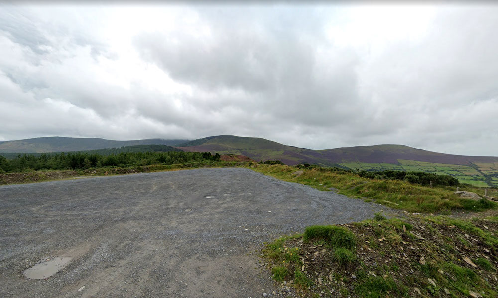
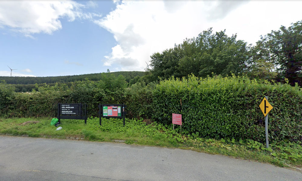
However, it is recognised in the Coillte report that mountain bike club activity is currently taking place in Deerpark / Kilbrannish at a moderate to high usage level. This mountain bike trail is promoted on the Trailbadger website and it profiles the facilities and a movie depicting features of the trail.
The cost of further developing these mountain bike trails is significant however, as substantial investment was required to develop the Ballyhoura mountain bike model on Coillte property. An alternative possibility for mountain bike related tourism could focus on private, commercial ‘trail centres’ which have become very popular in the UK in recent years, especially in Scotland and Wales. One such centre has opened in Ireland, near Roscrea, County Tipperary called ‘Bike Park Ireland’ which appears to be quite successful.
Racing 795 is a Mountain Biking and Triathlon club that involves cyclists, runners, swimmers and adventurers. Racing 795 was formed in 2008 with a mission to promote participation at all levels of triathlon and mountain biking in a friendly, supportive and enjoyable environment. The membership currently stands at around 50, mostly drawn from north Wexford and south Carlow. Competition and personal improvement is encouraged and their base is in Bunclody. Opportunities to develop tourism events in conjunction with this Club could be explored.
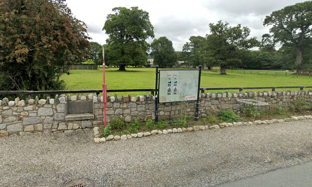
VIEW MAP & GUIDE INFORMATION