Windmill Loop
Name of Trail Windmill Loop Trailhead Kilbrannish Car Park GPS Co-ordinates 52.656460...
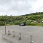
Kilbrannish Loop
Name of Trail Kilbrannish Loop Trailhead Kilbrannish Car Park GPS Co-ordinates 52.656...
Kilbrannish South Forest ( Red )
Name of Trail Kilbrannish South Forest ( Red ) Trailhead Corraby Gap GPS Co-ordinates ...
Long Lane
Name of Trail Long Lane Trailhead Market Square Bunclody GPS Co-ordinates 52.6555435 -...
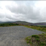
Mt Leinster ( 9 Stones Car Park )
Name of Trail Mt Leinster ( 9 Stones Car Park ) Trailhead Open Mountain No Trailhead GPS C...
Columbanus Way
Name of Trail Columbanus Way Trailhead Tirlan Carrickduff Bunclody GPS Co-ordinates 52...

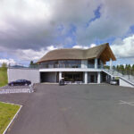
Bunclody Polo Club, Bunclody, Co.Wexford, Ireland
087-138 6328 or 086-823 7175087-138 6328 or 086-823 7175
Johns Hill
Name of Trail John’s Hill – White Loop Trailhead Kilbrannish Car Park GPS Co-ordinat...
Golf Club Bunclody
Name of Trail Bunclody Golf Club Trailhead No Trailhead GPS Co-ordinates 52.665274-...
Kilbrannish South Forest ( White )
Name of Trail Kilbrannish South Forest ( White ) Trailhead Corraby Gap GPS Co-ordinates ...
Craan Lane
Name of Trail Craan Lane Trailhead Market Square Bunclody GPS Co-ordinates 52.6555435...
Wicklow Way
Name of Trail Wicklow Way Trailhead Clonegal/Carlow GPS Co-ordinates 52.69553104308368...
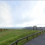
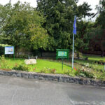
Coolmelagh
Name of Trail Prospect Loop ( Blue ) Trailhead Coolmelagh GPS Co-ordinates 52.68636...

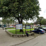
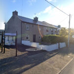
Bunclody
Bunclody Town has a rich heritage and it was felt that this could be further promoted. It was als...

Bunclody
There are a wealth of historic houses and gardens within close proximity to Bunclody including: ...
Kilbrannish South Forest ( Green )
Name of Trail Kilbrannish South Forest ( Green ) Trailhead Corraby Gap GPS Co-ordinates ...
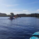
River Slaney
The river Slaney runs through the Town of Bunclody and is a very attractive natural asset for the...
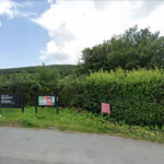
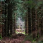
Gibbet Hill
Name of Trail Gibbet Hill ( Orange ) Trailhead Coolmelagh GPS Co-ordinates 52.68636...
bunclody
This recently launched walk takes you through pine and beech forests up to the summit of Gibbet H...
Kilbrannish South Forest ( Blue )
Name of Trail Kilbrannish South Forest ( Blue ) Trailhead Corraby Gap GPS Co-ordinates ...