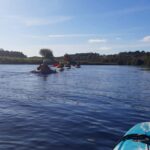
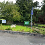
River Slaney
The river Slaney runs through the Town of Bunclody and is a very attractive natural asset for the...
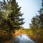
South Leinster Way
Name of Trail South Leinster Way Trailhead Kildavin/Carlow GPS Co-ordinates 52.68360 &...
Hook Head Safaris, Coleman Lane, Arthurstown, Co.Wexford
00353 051-389 91700353 051-389 917
00353 086-803 489500353 086-803 4895
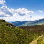
It was acknowledged that the Blackstairs Mountains have huge tourism potential which is currently...
Blackstairs Mountains
Walking: Bunclody is surrounded by mountains which are easily accessible from the Town. WLD has d...
Wicklow Way
Name of Trail Wicklow Way Trailhead Clonegal/Carlow GPS Co-ordinates 52.69553104308368...
Windmill Loop
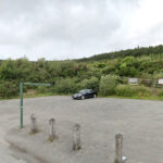
Name of Trail Windmill Loop Trailhead Kilbrannish Car Park GPS Co-ordinates 52.656460...