| Name of Trail | Kilbrannish Loop |
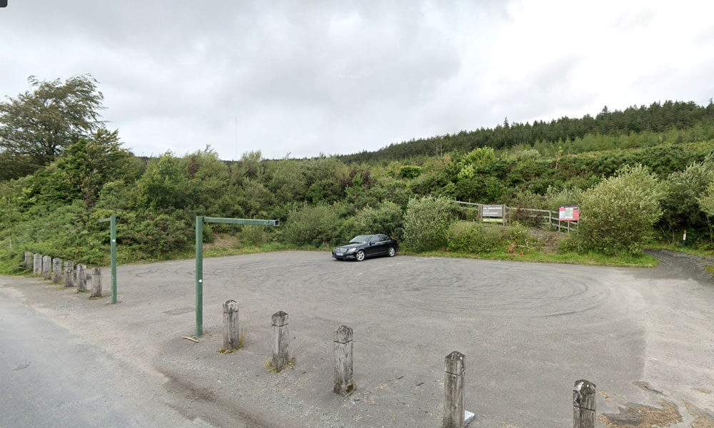
| Trailhead | Kilbrannish Car Park |
| GPS Co-ordinates | 52.6564606 -6.7545627 |
| Google Map Link | https://goo.gl/maps/1MiuAsTdWoEctWCe6 |
| Distance / Time | 5km 1hr 30min |
| Grade | Easy |
| Ascent | 310m |
| Terrain | Forest Trail |

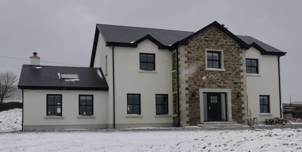
Clody Lodge is a ten bedroom boutique accomodation in the Main Street of Bunclody, Co Wexford. The accommodation is over three floors of a new building and it’s original ‘shop front’ facade. The three floors are all serviced by a lift and there is a specially designed disabled bedroom and facilities.
Clody Lodge faces the Mall, which is a man made stream that was said to be built by the Maxwell Barry family in the 18th century, and the Clody River runs at the rear of the building, making Clody Lodge a truly unique location.
Bunclody Golf and Fishing Club – just across the river from Clody Lodge – is situated in 300 acres of breathtaking parkland of the former Hall – Dare Estate . For the non golfer it offers a short scenic walk from the town to the picturesque club house with panoramic views of the surrounding countryside and Mount Leinster. An ideal place for breakfast, lunch or an odd pint of Guinness. The steaks are a speciality of the club house and are highly recommend.
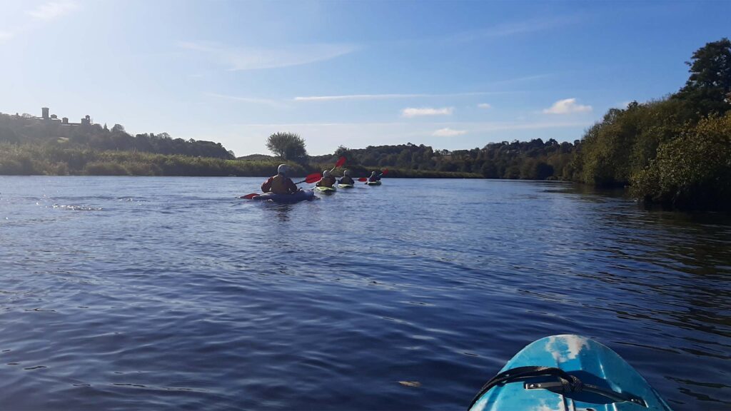
The river Slaney runs through the Town of Bunclody and is a very attractive natural asset for the Town.
“Until the late 1960s, the Slaney was perhaps the primary Irish spring salmon river and one of the best in Europe, but since then has seen a serious decline in the number of fish running the river to the extent that the river had to be closed for a number of years and is now catch and release only as stock levels are below conservation limits.” (www.slaneyrivertrust.ie).
There was uncertainty around fishing licences and where people are allowed to fish on the river Slaney. It was thought that there is a catch and release policy in place and that licences can be obtained locally.
Fishing is a potentially attractive tourist facility that could be offered in the area however, further research is required to ascertain on what basis it could be made available to visitors staying in the Town.
There are also fishing opportunities for tourists in Enniscorthy and due to the close proximity between the two Towns this could very easily be promoted as a half day / full day activity for those staying in Bunclody. There is free fishing downstream of Enniscorthy Bridge and there are good stocks of brown trout on the river Slaney.
Other opportunities to utilise the river was discussed and it was thought that watersports including kayaking could be developed. However, in the short term utilising existing established organisations would be most effective. There is the Tullow Kayak Club that offers training sessions and river trips for children and adults. There is also a company called Slaney Adventure which offers kayak trips to those on holiday in the area or summer camps for children aged 8 to 17 years of age.
| Name of Trail | Windmill Loop |
| Trailhead | Kilbrannish Car Park |
| GPS Co-ordinates | 52.6564606 -6.7545627 |
| Google Map Link | https://goo.gl/maps/1MiuAsTdWoEctWCe6 |
| Distance / Time | 3 km 1hr |
| Grade | Easy |
| Ascent | 310m |
| Terrain | Forest Trail |
| Name of Trail | South Leinster Way |
| Trailhead | Kildavin/Carlow |
| GPS Co-ordinates | 52.68360 – 6.68477 |
| Google Map Link | https://goo.gl/maps/artip6EhzBfKK87XA |
| Distance / Time | 102 km |
| Grade | Long distance Linear walk |
| Ascent | |
| Terrain | Roads/ Forest Trail |

Garden Machinery
Machinery Repairs
Lawnmower servise
Machinery sales
Hire shop
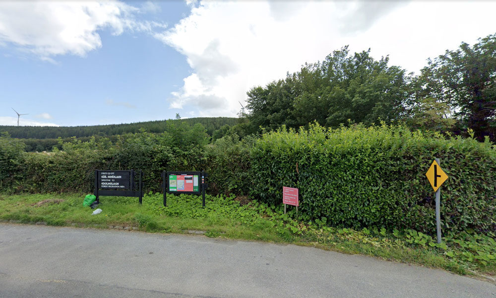
| Name of Trail | Coolmelagh (Red) |
| Trailhead | Coolmelagh |
| GPS Co-ordinates | 52.68615 – 6.57963 |
| Google Map Link | https://goo.gl/maps/YaQrTMzL8SnWrJpL7 |
| Distance / Time | 13.3km 3hrs |
| Grade | Moderate |
| Ascent | 280m |
| Terrain | Forest Trail |
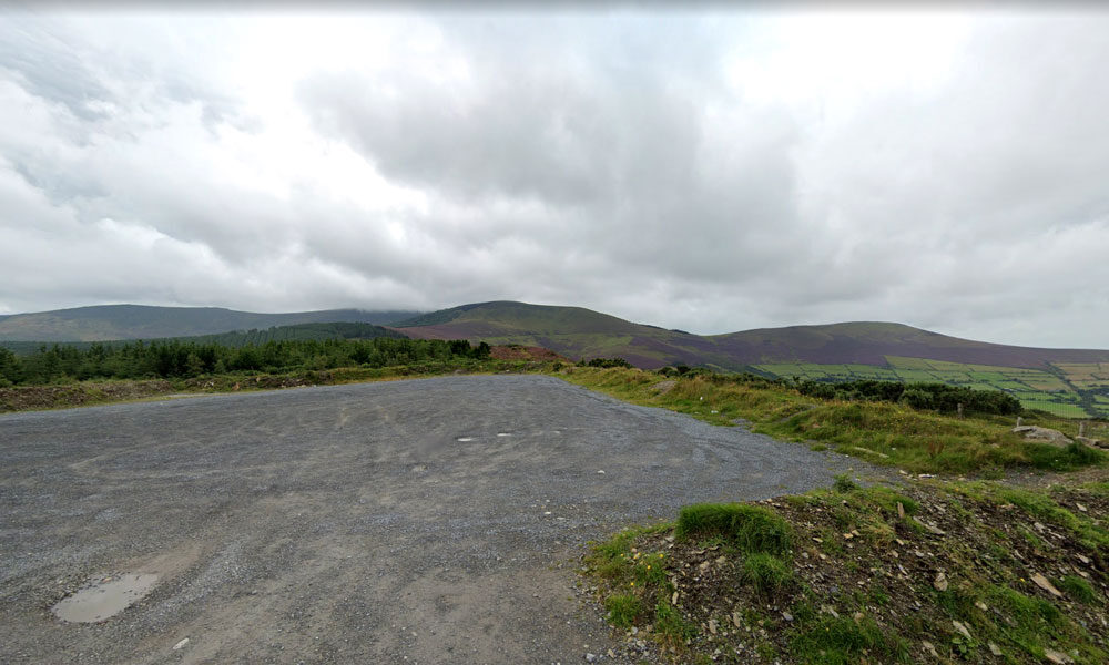
| Name of Trail | Kilbrannish South Forest ( White ) |
| Trailhead | Corraby Gap |
| GPS Co-ordinates | 52.6558283 -6.7701055 |
| Google Map Link | https://goo.gl/maps/zThNJQMAgkG4dema7 |
| Distance / Time | 14 km 4hrs |
| Grade | Moderate/Challenging |
| Ascent | 390m |
| Terrain | Road / Forest Trail |
| Name of Trail | Kilbrannish South Forest ( Green ) |
| Trailhead | Corraby Gap |
| GPS Co-ordinates | 52.6558283 -6.7701055 |
| Google Map Link | https://goo.gl/maps/zThNJQMAgkG4dema7 |
| Distance / Time | 9.5 km 3hr |
| Grade | Moderate (Medium Loop) |
| Ascent | 382m |
| Terrain | Road / Forest Trail |

Serves breakfast, lunch, dinner, drinks and coffee
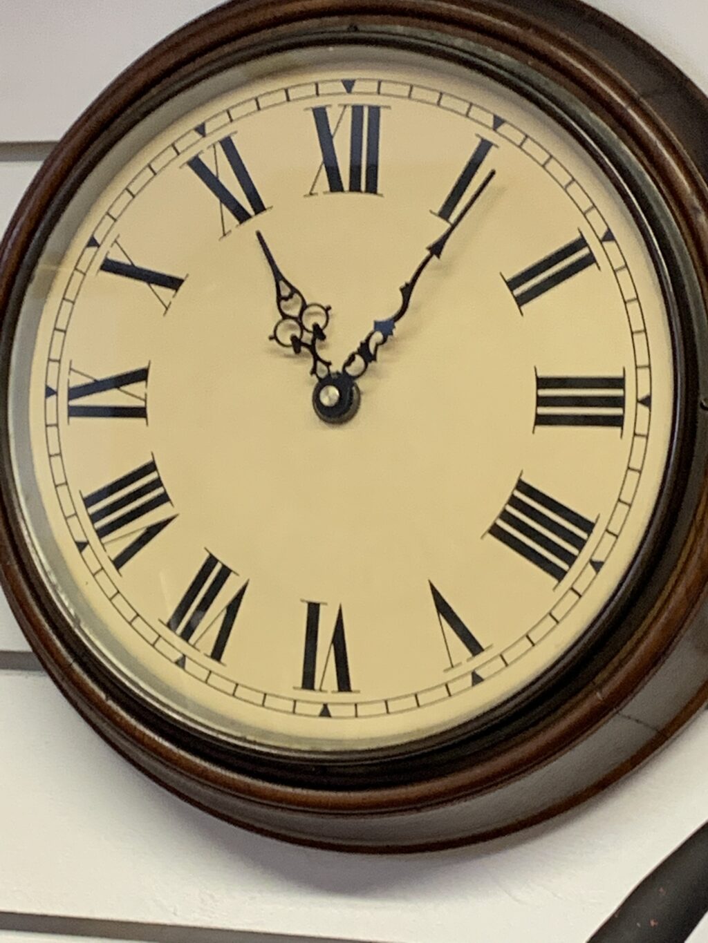
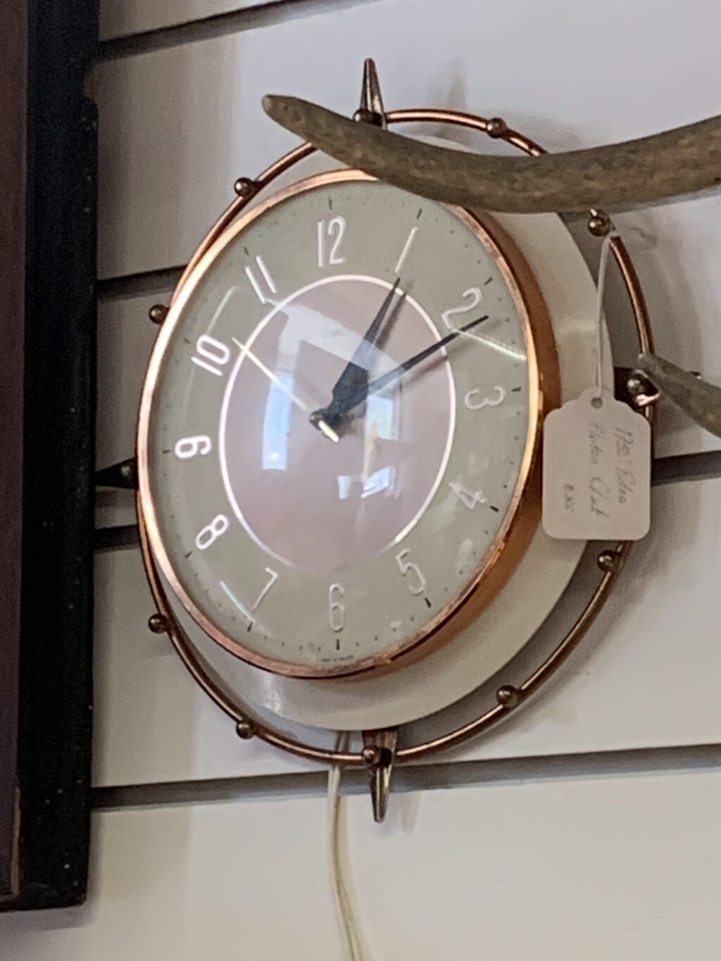
Antiques Georgian,Victorian,Edwardian,
Painting,Silver,Clocks Gramophones & Collectables
| Name of Trail | Columbanus Way |
| Trailhead | Tirlan Carrickduff Bunclody |
| GPS Co-ordinates | 52.6569408 -6.6578714 |
| Google Map Link | https://goo.gl/maps/QKwgd3UQqj4WdA1YA |
| Distance / Time | 13km 3hrs |
| Grade | Moderate |
| Ascent | 112m |
| Terrain | Roads/ Forest Trail |


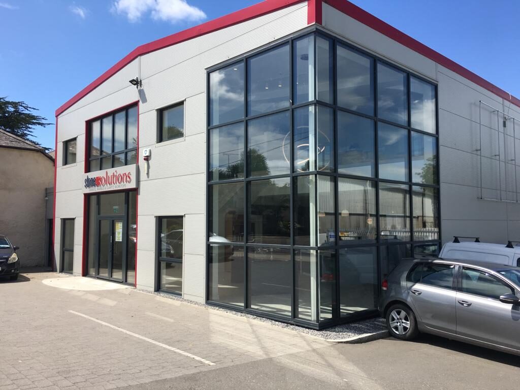

We are a leading Window & Door manufacturing and installation company based in the south-east, in Bunclody, Co.Wexford.
We specialise in both uPVC & Aluminium Windows & Doors, serving Residential & Commercial sectors.
We are a family run company, which was established in 1980 by our Managing Director Eamon Kehoe.
With over 40 years of industry experience, the company has gone from strength to strength.
We offer an extensive range of glazing products to cater for all needs


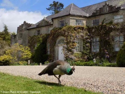
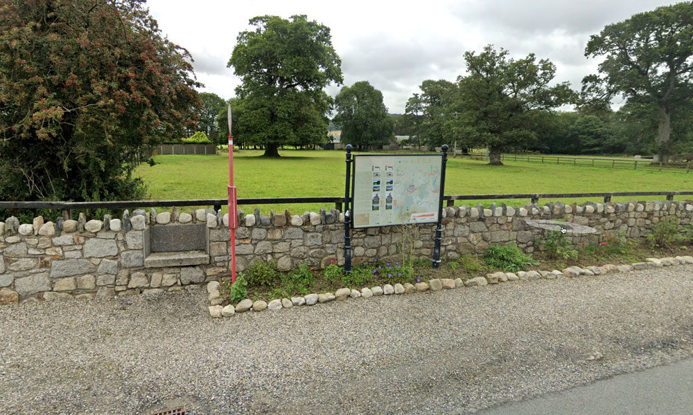
There are a wealth of historic houses
and gardens within close proximity to Bunclody including:
- Newtownbarry House
- Altamount Gardens
- Huntington Castle
- Borris Castle
- Lucy’s Wood Garden
- Tombrick Gardens
These gardens are members of either the Wexford or Carlow Garden Trails that are widely publicised nationally through websites or in brochures. It was recognised that because Bunclody is located on the border between Co. Carlow and Co. Wexford, visitors are not always aware of the gardens in close proximity to the Town.
It was felt very important that all of these attractions should be jointly publicised to visitors who are staying in Bunclody or the neighboring area.
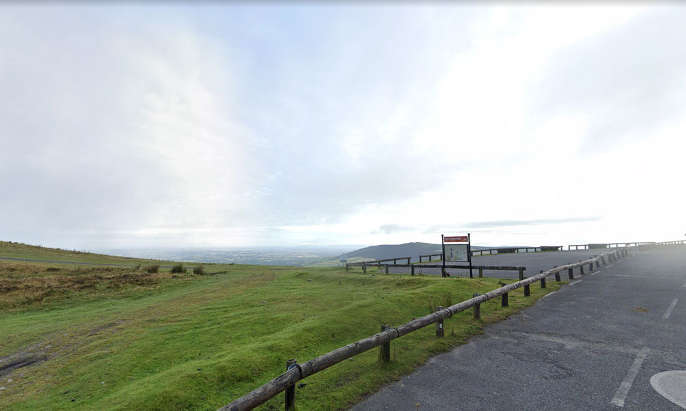
| Name of Trail | Mt Leinster ( 9 Stones Car Park ) |
| Trailhead | Open Mountain No Trailhead |
| GPS Co-ordinates | 52.63726927530189, -6.793461471164923 |
| Google Map Link | https://goo.gl/maps/RA5vwbfdeGivE8ZH8– |
| Distance / Time | |
| Grade | – |
| Ascent | – |
| Terrain | – |