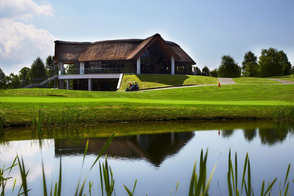
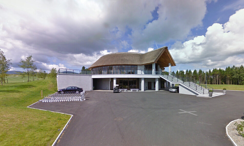
The bar and function room offer a warm welcome and tempting menu with panoramic views of the surrounding countryside and of Mount Leinster, we are open to visitors and societies 7 days a week.


Mountain Bike Trails:
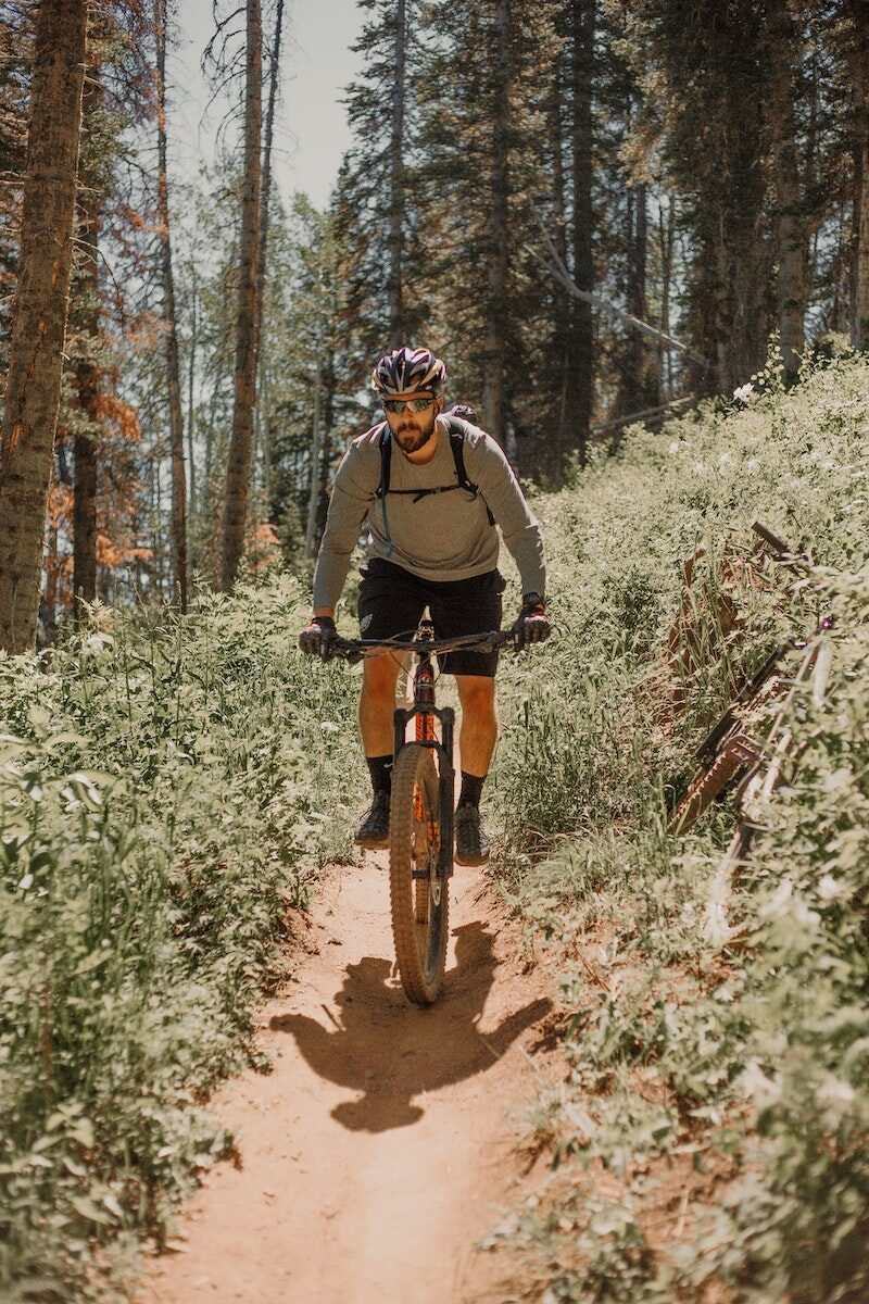
There is an interest in developing mountain bike trails in the area. The mountain bike model in Ballyhoura, County Limerick was discussed and it was felt that this is a model that Bunclody could explore further to examine if it is possible to replicate in this locality. It is our understanding that this was developed as a joint venture between Ballyhoura Development and Fáilte Ireland and approximately 92 km were built on Coillte property with their permission.
However, if these are developed on land owned by Coillte, it is imperative that discussions take place with them initially to identify if this is compatible with their national strategy on ‘Off-Road Cycling, 2012’.
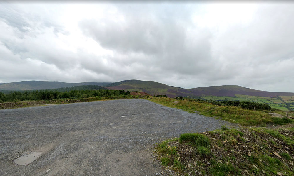
However, it is recognised in the Coillte report that mountain bike club activity is currently taking place in Deerpark / Kilbrannish at a moderate to high usage level. This mountain bike trail is promoted on the Trailbadger website and it profiles the facilities and a movie depicting features of the trail.
The cost of further developing these mountain bike trails is significant however, as substantial investment was required to develop the Ballyhoura mountain bike model on Coillte property. An alternative possibility for mountain bike related tourism could focus on private, commercial ‘trail centres’ which have become very popular in the UK in recent years, especially in Scotland and Wales. One such centre has opened in Ireland, near Roscrea, County Tipperary called ‘Bike Park Ireland’ which appears to be quite successful.
Racing 795 is a Mountain Biking and Triathlon club that involves cyclists, runners, swimmers and adventurers. Racing 795 was formed in 2008 with a mission to promote participation at all levels of triathlon and mountain biking in a friendly, supportive and enjoyable environment. The membership currently stands at around 50, mostly drawn from north Wexford and south Carlow. Competition and personal improvement is encouraged and their base is in Bunclody. Opportunities to develop tourism events in conjunction with this Club could be explored.


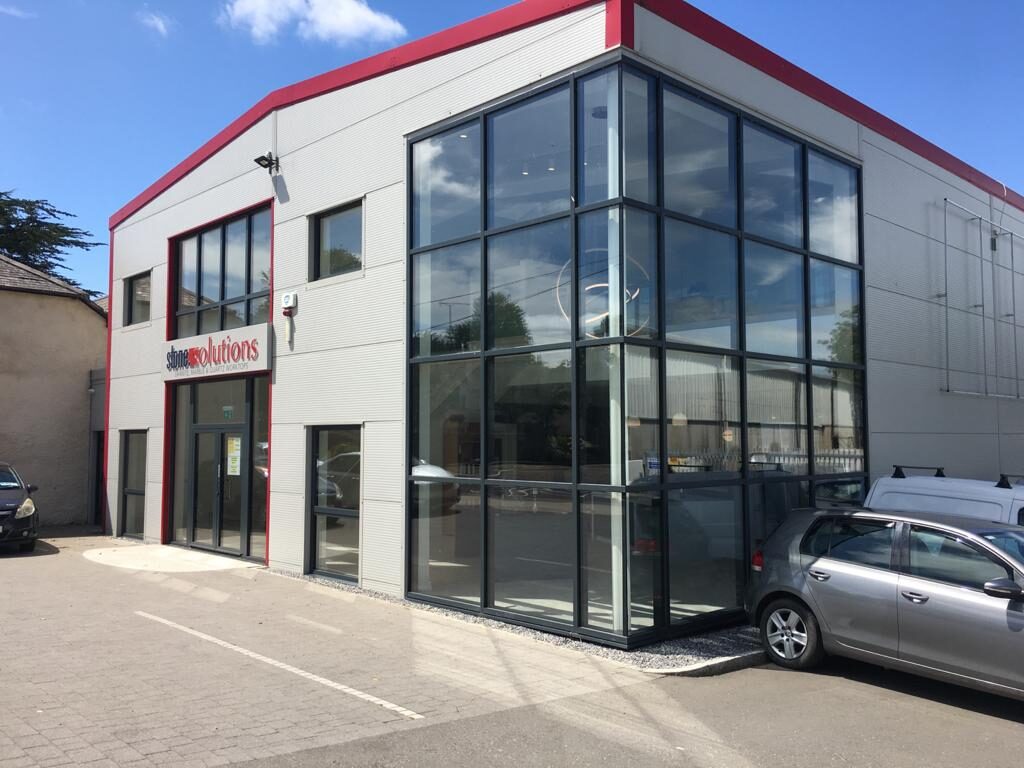

We are a leading Window & Door manufacturing and installation company based in the south-east, in Bunclody, Co.Wexford.
We specialise in both uPVC & Aluminium Windows & Doors, serving Residential & Commercial sectors.
We are a family run company, which was established in 1980 by our Managing Director Eamon Kehoe.
With over 40 years of industry experience, the company has gone from strength to strength.
We offer an extensive range of glazing products to cater for all needs
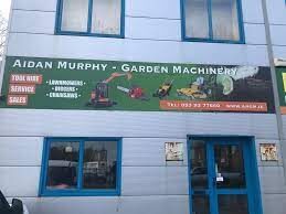
Garden Machinery
Machinery Repairs
Lawnmower servise
Machinery sales
Hire shop
| Name of Trail | Columbanus Way |
| Trailhead | Tirlan Carrickduff Bunclody |
| GPS Co-ordinates | 52.6569408 -6.6578714 |
| Google Map Link | https://goo.gl/maps/QKwgd3UQqj4WdA1YA |
| Distance / Time | 13km 3hrs |
| Grade | Moderate |
| Ascent | 112m |
| Terrain | Roads/ Forest Trail |

Discover magic food

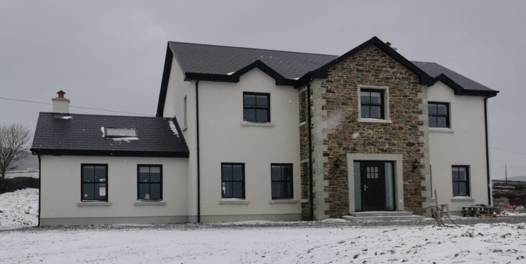
Byrne and Byrne Ltd based in Bunclody, Co. Wexford have been building high quality homes for the past 40 years, Also during this time the company has constructed some high profile Public buildings: Schools, Libraries, etc along with many commercial projects . Down through the years the company has gained a reputation for understanding the needs of the modern homebuyer, offering a professional, customer focused service, using best practice methods to create homes with superb finishes right down to the finest details.
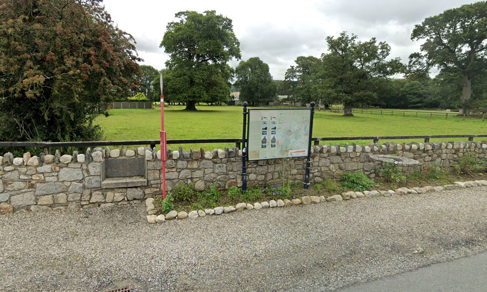
| Name of Trail | Bunclody Golf Club |
| Trailhead | No Trailhead |
| GPS Co-ordinates | 52.665274- 6.659077 |
| Google Map Link | https://goo.gl/maps/YUpGtU58rQFn1mT66 |
| Distance / Time | |
| Grade | Easy |
| Ascent | |
| Terrain | Road |
| Name of Trail | South Leinster Way |
| Trailhead | Kildavin/Carlow |
| GPS Co-ordinates | 52.68360 – 6.68477 |
| Google Map Link | https://goo.gl/maps/artip6EhzBfKK87XA |
| Distance / Time | 102 km |
| Grade | Long distance Linear walk |
| Ascent | |
| Terrain | Roads/ Forest Trail |
| Name of Trail | Wicklow Way |
| Trailhead | Clonegal/Carlow |
| GPS Co-ordinates | 52.69553104308368, -6.64839482900732 |
| Google Map Link | https://goo.gl/maps/aW3fxv7PoW4MYR277 |
| Distance / Time | 132 km |
| Grade | Long distance Linear walk |
| Ascent | 133m |
| Terrain | Roads/ Forest Trail |
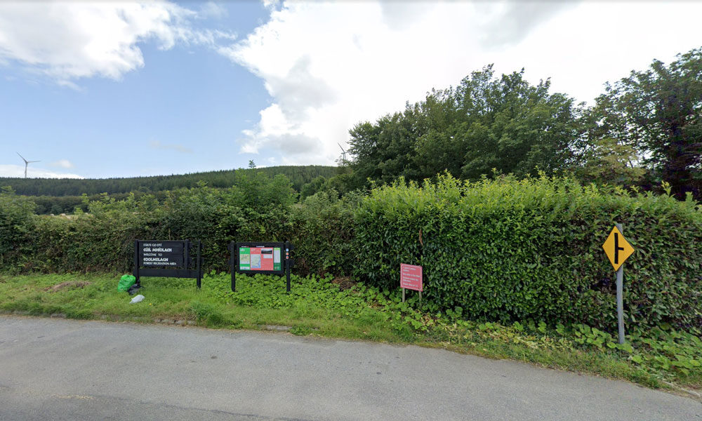
| Name of Trail | Coolmelagh (Red) |
| Trailhead | Coolmelagh |
| GPS Co-ordinates | 52.68615 – 6.57963 |
| Google Map Link | https://goo.gl/maps/YaQrTMzL8SnWrJpL7 |
| Distance / Time | 13.3km 3hrs |
| Grade | Moderate |
| Ascent | 280m |
| Terrain | Forest Trail |
| Name of Trail | Prospect Loop ( Blue ) |
| Trailhead | Coolmelagh |
| GPS Co-ordinates | 52.68636 – 6.57963 |
| Google Map Link | https://goo.gl/maps/fPmp6kTXA95JLVPy9 |
| Distance / Time | 5.4 km 1hr 30min |
| Grade | Easy |
| Ascent | 140m |
| Terrain | Forest Trail |
| Name of Trail | Gibbet Hill ( Orange ) |
| Trailhead | Coolmelagh |
| GPS Co-ordinates | 52.68636 – 6.57963 |
| Google Map Link | https://goo.gl/maps/gLqqFa934HwvGiWr5 |
| Distance / Time | 10 km 2hr |
| Grade | Moderate |
| Ascent | 210m |
| Terrain | Forest Trail |
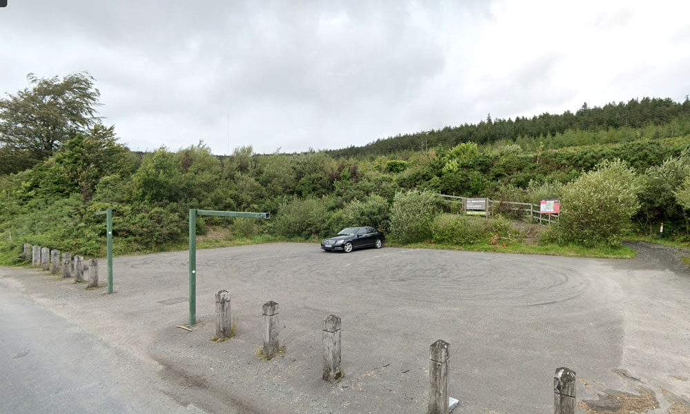
| Name of Trail | Windmill Loop |
| Trailhead | Kilbrannish Car Park |
| GPS Co-ordinates | 52.6564606 -6.7545627 |
| Google Map Link | https://goo.gl/maps/1MiuAsTdWoEctWCe6 |
| Distance / Time | 3 km 1hr |
| Grade | Easy |
| Ascent | 310m |
| Terrain | Forest Trail |
| Name of Trail | Kilbrannish Loop |
| Trailhead | Kilbrannish Car Park |
| GPS Co-ordinates | 52.6564606 -6.7545627 |
| Google Map Link | https://goo.gl/maps/1MiuAsTdWoEctWCe6 |
| Distance / Time | 5km 1hr 30min |
| Grade | Easy |
| Ascent | 310m |
| Terrain | Forest Trail |
| Name of Trail | John’s Hill – White Loop |
| Trailhead | Kilbrannish Car Park |
| GPS Co-ordinates | 52.6564606 -6.7545627 |
| Google Map Link | https://goo.gl/maps/1MiuAsTdWoEctWCe6 |
| Distance / Time | 11km 3hr |
| Grade | Moderate |
| Ascent | – |
| Terrain | Forest Trail / Track |
| Name of Trail | Kilbrannish South Forest ( Red ) |
| Trailhead | Corraby Gap |
| GPS Co-ordinates | 52.6558283 -6.7701055 |
| Google Map Link | https://goo.gl/maps/zThNJQMAgkG4dema7 |
| Distance / Time | 6.5m 2hr |
| Grade | Moderate (Short Loop) |
| Ascent | 382m |
| Terrain | Road / Forest Trail |
| Name of Trail | Kilbrannish South Forest ( Green ) |
| Trailhead | Corraby Gap |
| GPS Co-ordinates | 52.6558283 -6.7701055 |
| Google Map Link | https://goo.gl/maps/zThNJQMAgkG4dema7 |
| Distance / Time | 9.5 km 3hr |
| Grade | Moderate (Medium Loop) |
| Ascent | 382m |
| Terrain | Road / Forest Trail |