| Name of Trail | Bunclody Golf Club |
| Trailhead | No Trailhead |
| GPS Co-ordinates | 52.665274- 6.659077 |
| Google Map Link | https://goo.gl/maps/YUpGtU58rQFn1mT66 |
| Distance / Time | |
| Grade | Easy |
| Ascent | |
| Terrain | Road |
| Name of Trail | Columbanus Way |
| Trailhead | Tirlan Carrickduff Bunclody |
| GPS Co-ordinates | 52.6569408 -6.6578714 |
| Google Map Link | https://goo.gl/maps/QKwgd3UQqj4WdA1YA |
| Distance / Time | 13km 3hrs |
| Grade | Moderate |
| Ascent | 112m |
| Terrain | Roads/ Forest Trail |
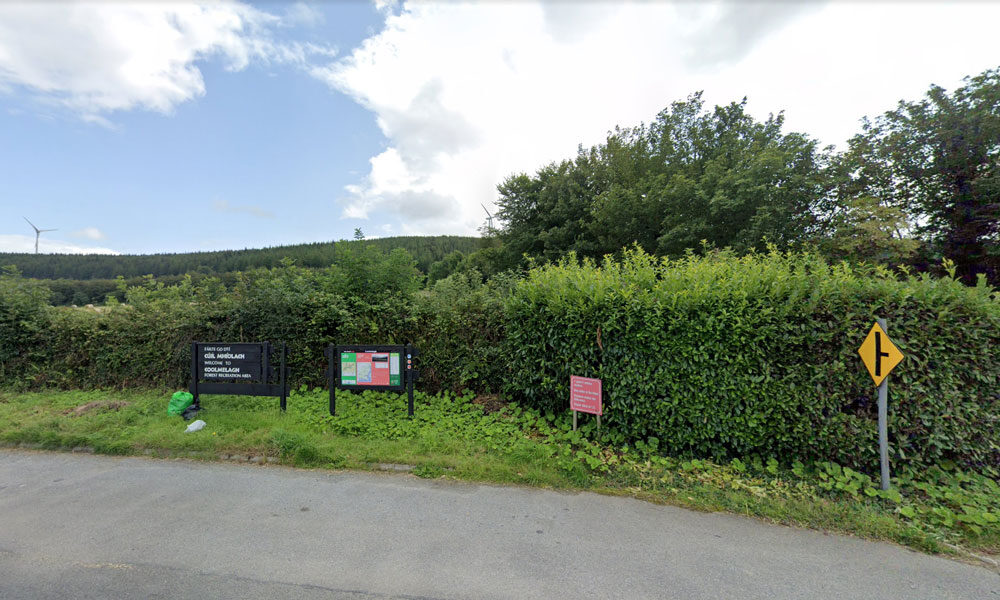
| Name of Trail | Coolmelagh (Red) |
| Trailhead | Coolmelagh |
| GPS Co-ordinates | 52.68615 – 6.57963 |
| Google Map Link | https://goo.gl/maps/YaQrTMzL8SnWrJpL7 |
| Distance / Time | 13.3km 3hrs |
| Grade | Moderate |
| Ascent | 280m |
| Terrain | Forest Trail |

This recently launched walk takes you through pine and beech forests up to the summit of Gibbet Hill. A number of places on this hill you’ll notice some fine stone walls made out of flattish pieces of rock. In the eighteenth century there was a slate quarry on the hill. In early May expect to see a carpet of bluebells, thriving quietly away beneath the beech trees.
| Name of Trail | Craan Lane |
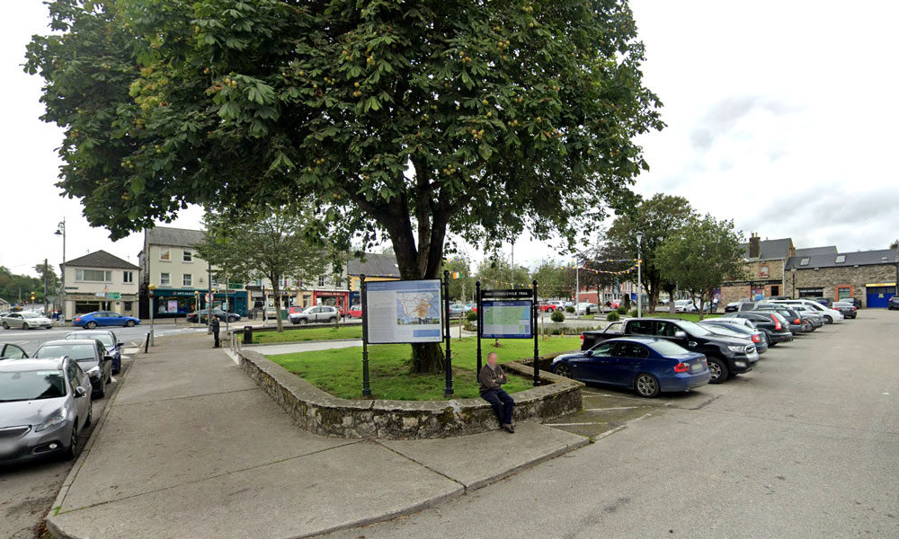
| Trailhead | Market Square Bunclody |
| GPS Co-ordinates | 52.6555435 -6.6513263 |
| Google Map Link | https://goo.gl/maps/Q2oFK3nYbgfrzzwv9 |
| Distance / Time | 15 km 3-4hrs |
| Grade | Moderate |
| Ascent | 31m |
| Terrain | Country Roads |
| Name of Trail | Gibbet Hill ( Orange ) |
| Trailhead | Coolmelagh |
| GPS Co-ordinates | 52.68636 – 6.57963 |
| Google Map Link | https://goo.gl/maps/gLqqFa934HwvGiWr5 |
| Distance / Time | 10 km 2hr |
| Grade | Moderate |
| Ascent | 210m |
| Terrain | Forest Trail |
Bunclody Town has a rich heritage and it was felt that this could be further promoted. It was also recognised that there is a need to provide in-door facilities so that visitors have things to do when the weather is inclement. Some suggestions included a historical Museum. This could possibly be located in one of the vacant buildings in the Town. This could include a photographic exhibition and artefacts representing Bunclody’s history. Reference was made to ‘Enniscorthy Castle’ and how successfully this has promoted Enniscorthy’s heritage. Another excellent example is the ‘St Conall’s Museum and Heritage Centre’ in a small village called Glenties, County Donegal. According to the Rough Guide of Ireland it is one of the best small-Town museums in the country and displays much material of local interest, focusing on wildlife, Donegal’s railways, antiquities, and the effects of the Great Famine. It also holds a Summer School in late July, attracting hundreds of people to its exhibitions, seminars and literary debates.
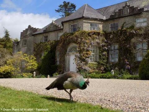
There are a wealth of historic houses
and gardens within close proximity to Bunclody including:
- Newtownbarry House
- Altamount Gardens
- Huntington Castle
- Borris Castle
- Lucy’s Wood Garden
- Tombrick Gardens
These gardens are members of either the Wexford or Carlow Garden Trails that are widely publicised nationally through websites or in brochures. It was recognised that because Bunclody is located on the border between Co. Carlow and Co. Wexford, visitors are not always aware of the gardens in close proximity to the Town.
It was felt very important that all of these attractions should be jointly publicised to visitors who are staying in Bunclody or the neighboring area.
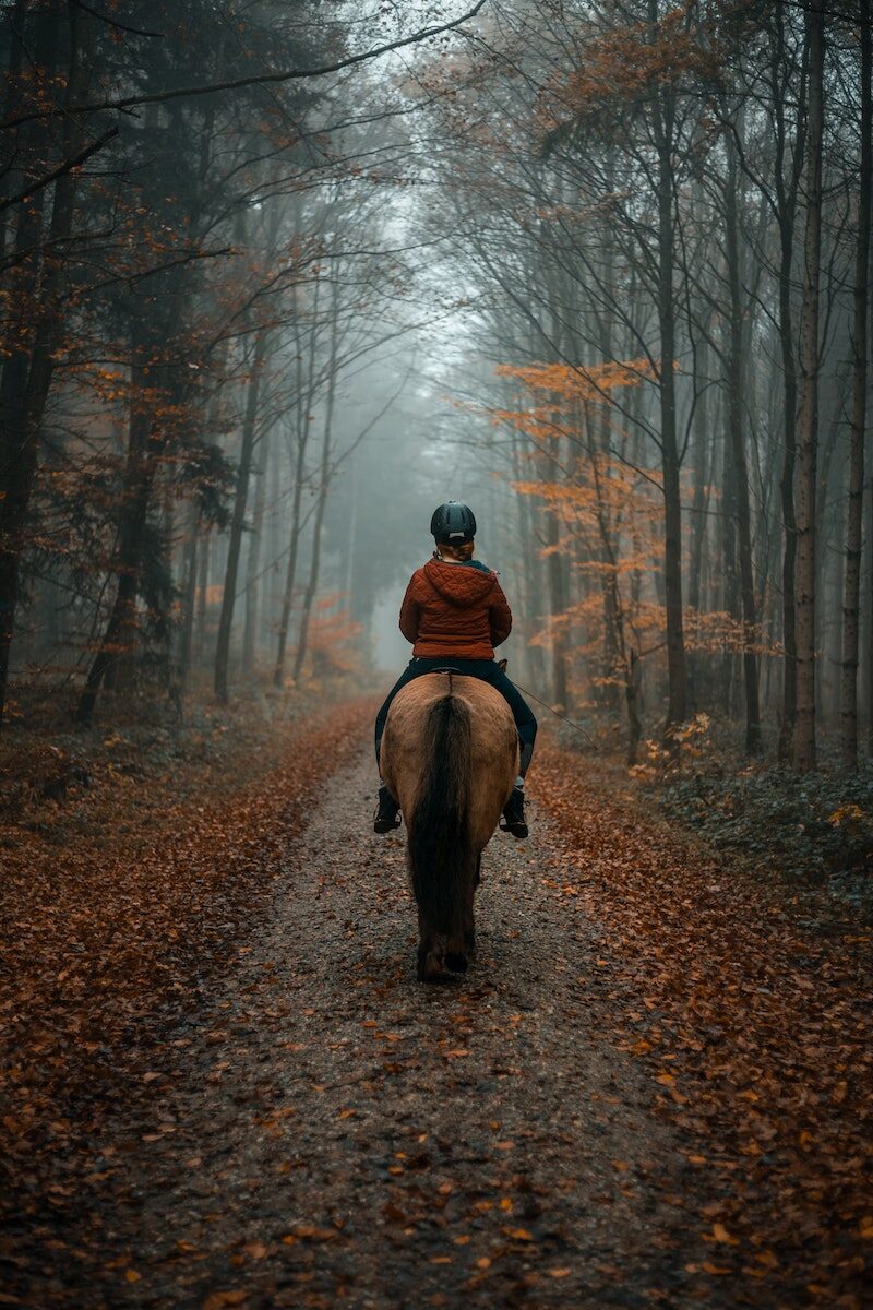
Horse riding:
The opportunity to do pony trekking in the mountains was considered and it was felt that current facilities are not well known. There is the Anvil Lodge Riding School based in Ballindaggan which is 11 km from Bunclody and it offers individual and group packages and it was felt that this could be promoted further.
| Name of Trail | John’s Hill – White Loop |
| Trailhead | Kilbrannish Car Park |
| GPS Co-ordinates | 52.6564606 -6.7545627 |
| Google Map Link | https://goo.gl/maps/1MiuAsTdWoEctWCe6 |
| Distance / Time | 11km 3hr |
| Grade | Moderate |
| Ascent | – |
| Terrain | Forest Trail / Track |
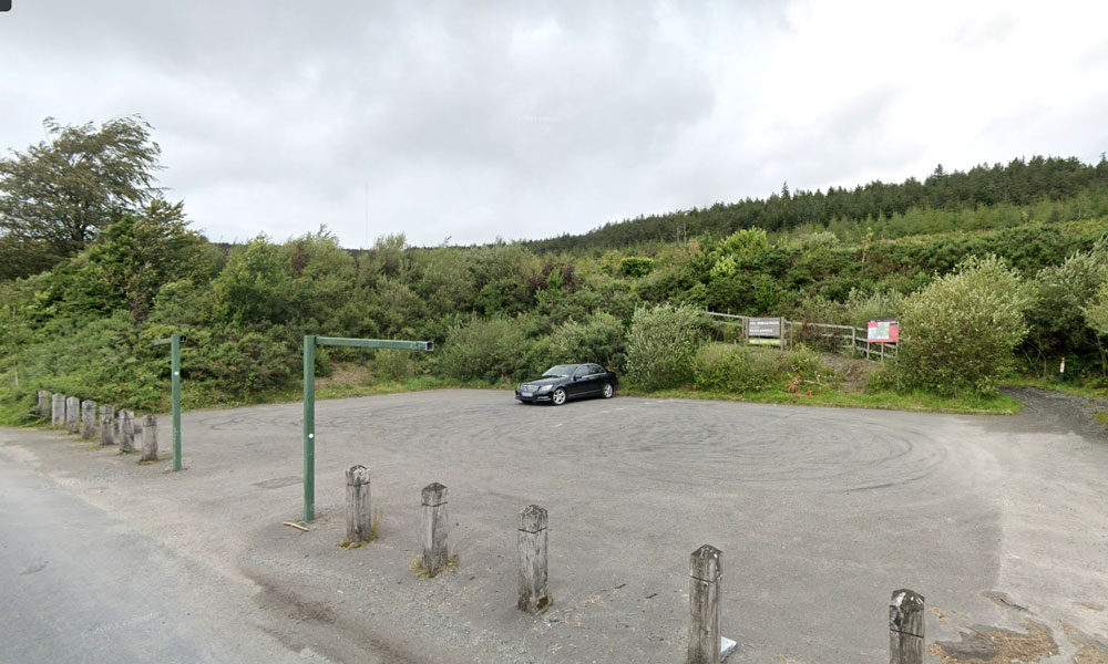
| Name of Trail | Kilbrannish Loop |
| Trailhead | Kilbrannish Car Park |
| GPS Co-ordinates | 52.6564606 -6.7545627 |
| Google Map Link | https://goo.gl/maps/1MiuAsTdWoEctWCe6 |
| Distance / Time | 5km 1hr 30min |
| Grade | Easy |
| Ascent | 310m |
| Terrain | Forest Trail |
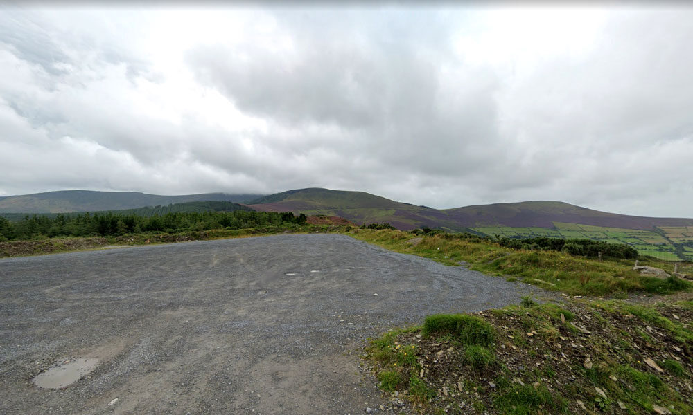
| Name of Trail | Kilbrannish South Forest ( Blue ) |
| Trailhead | Corraby Gap |
| GPS Co-ordinates | 52.6558283 -6.7701055 |
| Google Map Link | https://goo.gl/maps/zThNJQMAgkG4dema7 |
| Distance / Time | 10.5km 3hr 10min |
| Grade | Strenuous (Long Loop) |
| Ascent | 382m |
| Terrain | Road / Forest Trail |
| Name of Trail | Kilbrannish South Forest ( Green ) |
| Trailhead | Corraby Gap |
| GPS Co-ordinates | 52.6558283 -6.7701055 |
| Google Map Link | https://goo.gl/maps/zThNJQMAgkG4dema7 |
| Distance / Time | 9.5 km 3hr |
| Grade | Moderate (Medium Loop) |
| Ascent | 382m |
| Terrain | Road / Forest Trail |
| Name of Trail | Kilbrannish South Forest ( Red ) |
| Trailhead | Corraby Gap |
| GPS Co-ordinates | 52.6558283 -6.7701055 |
| Google Map Link | https://goo.gl/maps/zThNJQMAgkG4dema7 |
| Distance / Time | 6.5m 2hr |
| Grade | Moderate (Short Loop) |
| Ascent | 382m |
| Terrain | Road / Forest Trail |
| Name of Trail | Kilbrannish South Forest ( White ) |
| Trailhead | Corraby Gap |
| GPS Co-ordinates | 52.6558283 -6.7701055 |
| Google Map Link | https://goo.gl/maps/zThNJQMAgkG4dema7 |
| Distance / Time | 14 km 4hrs |
| Grade | Moderate/Challenging |
| Ascent | 390m |
| Terrain | Road / Forest Trail |
| Name of Trail | Long Lane |
| Trailhead | Market Square Bunclody |
| GPS Co-ordinates | 52.6555435 -6.6513263 |
| Google Map Link | https://goo.gl/maps/Q2oFK3nYbgfrzzwv9 |
| Distance / Time | 8 km 2hrs |
| Grade | Moderate |
| Ascent | 31m |
| Terrain | Country Roads |
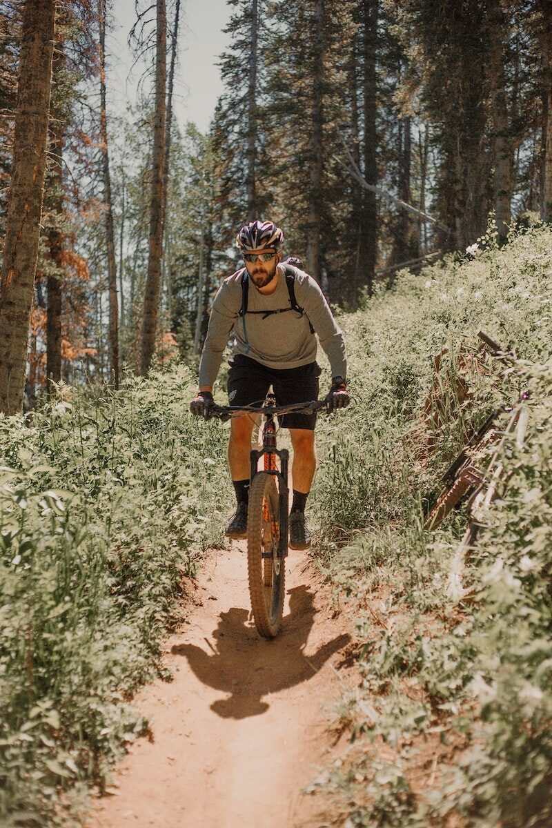
Mountain Bike Trails:
There is an interest in developing mountain bike trails in the area. The mountain bike model in Ballyhoura, County Limerick was discussed and it was felt that this is a model that Bunclody could explore further to examine if it is possible to replicate in this locality. It is our understanding that this was developed as a joint venture between Ballyhoura Development and Fáilte Ireland and approximately 92 km were built on Coillte property with their permission.
However, if these are developed on land owned by Coillte, it is imperative that discussions take place with them initially to identify if this is compatible with their national strategy on ‘Off-Road Cycling, 2012’.
However, it is recognised in the Coillte report that mountain bike club activity is currently taking place in Deerpark / Kilbrannish at a moderate to high usage level. This mountain bike trail is promoted on the Trailbadger website and it profiles the facilities and a movie depicting features of the trail.
The cost of further developing these mountain bike trails is significant however, as substantial investment was required to develop the Ballyhoura mountain bike model on Coillte property. An alternative possibility for mountain bike related tourism could focus on private, commercial ‘trail centres’ which have become very popular in the UK in recent years, especially in Scotland and Wales. One such centre has opened in Ireland, near Roscrea, County Tipperary called ‘Bike Park Ireland’ which appears to be quite successful.
Racing 795 is a Mountain Biking and Triathlon club that involves cyclists, runners, swimmers and adventurers. Racing 795 was formed in 2008 with a mission to promote participation at all levels of triathlon and mountain biking in a friendly, supportive and enjoyable environment. The membership currently stands at around 50, mostly drawn from north Wexford and south Carlow. Competition and personal improvement is encouraged and their base is in Bunclody. Opportunities to develop tourism events in conjunction with this Club could be explored.
| Name of Trail | Mt Leinster ( 9 Stones Car Park ) |
| Trailhead | Open Mountain No Trailhead |
| GPS Co-ordinates | 52.63726927530189, -6.793461471164923 |
| Google Map Link | https://goo.gl/maps/RA5vwbfdeGivE8ZH8– |
| Distance / Time | |
| Grade | – |
| Ascent | – |
| Terrain | – |
| Name of Trail | Prospect Loop ( Blue ) |
| Trailhead | Coolmelagh |
| GPS Co-ordinates | 52.68636 – 6.57963 |
| Google Map Link | https://goo.gl/maps/fPmp6kTXA95JLVPy9 |
| Distance / Time | 5.4 km 1hr 30min |
| Grade | Easy |
| Ascent | 140m |
| Terrain | Forest Trail |